What is applied modelling?
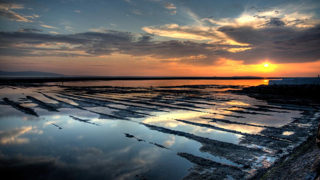
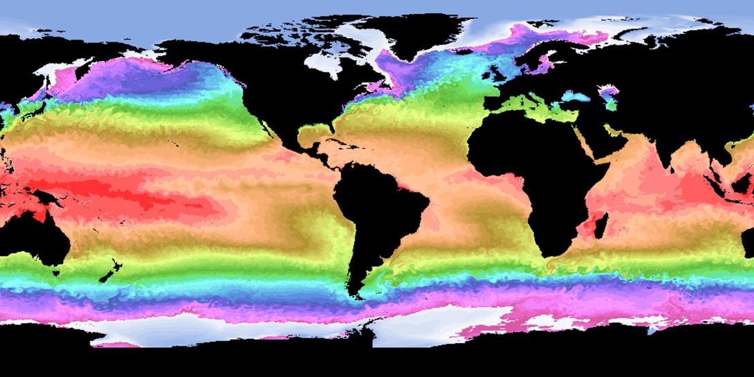
Applied modelling means using computer simulations to recreate how the ocean behaves in real life, from tides and waves to sediment transport, storm surges, pollution spread and climate change. These models help us understand how coastal and ocean systems work today and how they might respond to future events.
At the National Oceanography Centre, we develop high-resolution ocean models to answer real-world questions for decision-makers, coastal communities, marine industries and infrastructure planners. We don’t just study ocean systems, we build tools to help manage them.
Why is applied modelling important?
As our climate changes, we need to understand how the ocean and coastlines will respond, especially during extreme events like storms, floods or marine heatwaves.
Applied models help us explore future scenarios and test the impacts of human interventions. They support better decisions on:
- Flood risk and coastal protection
- Offshore wind and tidal energy
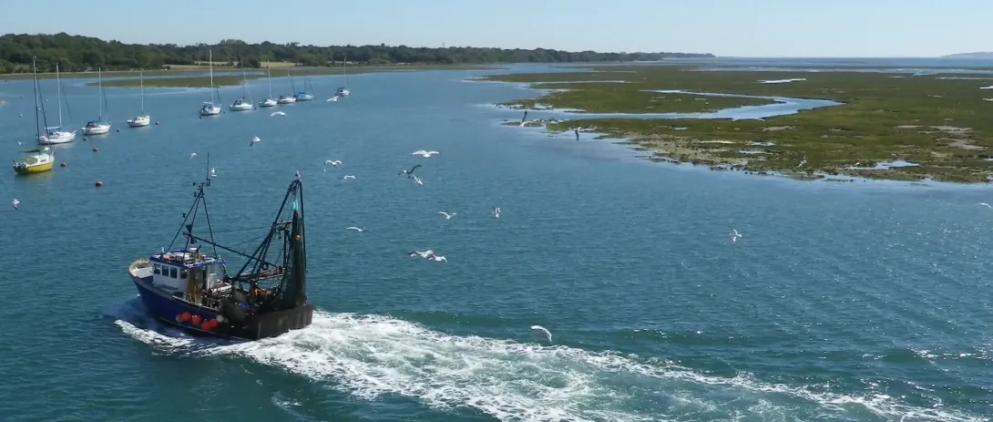
- Aquaculture and fisheries
- Environmental protection
- Urban planning in coastal zones
- Disaster response and recovery
Models can also be built to simulate specific events, such as pollution spills or coastal flooding, to understand causes and improve future resilience.
What is the impact of applied modelling?
Applied modelling has a clear route to impact. By simulating real-world processes and future risks, we help reduce costs, protect infrastructure, and build resilience in coastal systems.
Our tools are used by governments, industries, regulators and researchers, from planning locations for offshore renewables to planning nature-based defences. These models underpin decisions that safeguard people, property, and the natural environment.
They are also crucial for understanding processes such as:
- Larval connectivity between habitats
- Transport of invasive species or microplastics
- Fate of pollutants following marine accidents
- Flood pathways during storm events
We create light-weight, containerised tools that can run on standard computers, making modelling more accessible to a wide range of users, including coastal planners in low-resource settings.
How is NOC using applied modelling?
At NOC, we combine high-resolution models with field data, ocean observations and innovative techniques to study coastal processes around the world. Here are some examples:
Uses of Applied Modelling
Following a shipwreck off Sri Lanka in 2021, we simulated local currents and released tracers to understand how pollutants dispersed. This helped assess environmental risk under different monsoon conditions.
We transformed advanced tidal simulations into a mobile app for tide prediction, first for the UK and later extended globally. The technology is now used by the RNLI and maritime services.
Our research in China’s Pearl River Delta showed that mangrove forests reduce water levels during typhoons. These findings inform the design of nature-based coastal defences.
Learn more about Mangrove ModellingWe modelled how offshore structures in the North Sea affect marine larval dispersal. The findings support decision-making around construction and decommissioning of platforms and wind farms.
Simulations in the Irish and North Seas showed that tidal turbines and global warming both reduce water mixing, with climate change having a much larger effect. Models also revealed possible coastal protection effects from changes in sea level.
Learn more about Tidal energy and climate changeOur work supports policy around the combined impacts of offshore wind farms and climate change.
https://ecowind.uk/We also model global risks to subsea telecommunications cables, helping inform infrastructure resilience.
https://www.sciencedirect.com/science/article/pii/S0012825224003003We simulated flood scenarios in the Firth of Forth to understand the effectiveness of different protection strategies during storm Xaver in 2013.