Our transit from Caldera, Costa Rica to the Clarion Clipperton Zone crosses areas of the Pacific Ocean that have never been mapped by ships before. On our ship we have a multibeam echosounder, which sends acoustic pulses to the seafloor and measures the time taken for the pulses to return. This time is used to calculate how far away the seafloor is and therefore the depth of the ocean beneath the ship. Whilst we journey we continuously map beneath us, except when we are in another nation’s exclusive economic zone (EEZ), where that nation has jurisdiction over the resources in those waters.
We already have some idea what to expect on the seafloor due to satellite altimetry (which uses satellites to estimate the seafloor topography) but with shipboard multibeam we are able to map at much higher resolution. This data will be used to improve our understanding of the seafloor and the ocean processes in the area as well as be submitted to a freely accessible database of ocean mapping around the world (such as GEBCO https://www.gebco.net).
So, what have we been seeing along the way?
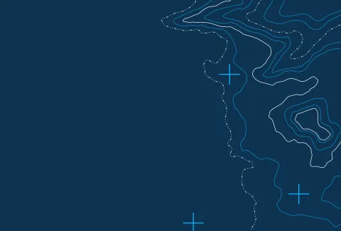
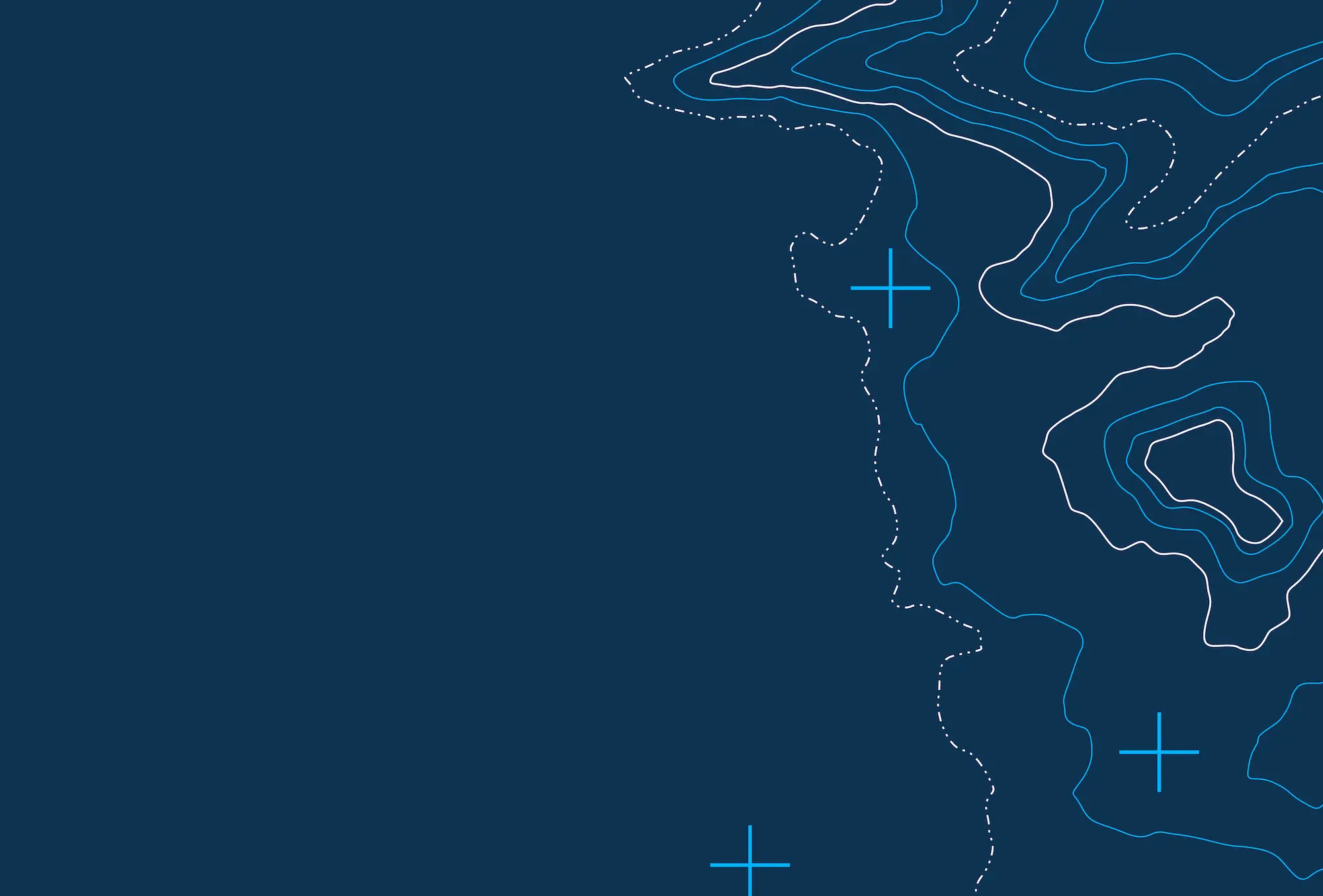
A seamount is an underwater mountain created by volcanic activity. Along our passage we have been able to map some of these seamounts, which extend hundreds to thousands of metres above the seafloor. These landforms influence the waters surrounding them, by disturbing ocean currents, channelling deep nutrient-rich waters up their slopes and providing a range of seafloor substrates, these conditions often attract marine life and can be hotspots for biodiversity. There are 10’s of thousands of seamounts worldwide, how many of them will we map on this research cruise?
Be part of the community helping our ocean thrive.