

What is GEBCO?
The General Bathymetric Chart of the Oceans (GEBCO) is a global initiative to map the entire seafloor of the world’s oceans, and to make that data freely available to everyone.
GEBCO is a non-profit organisation supported by a voluntary international community of geoscientists and hydrographers. It is jointly governed by the International Hydrographic Organization (IHO) and the Intergovernmental Oceanographic Commission (IOC) of UNESCO.
What are the Goals of GEBCO?
GEBCO’s goal is to produce free, open-access and complete maps of the world’s seafloor. This is made possible through international collaboration, technological innovation, capacity building, and knowledge sharing. In 2017, GEBCO and The Nippon Foundation launched the Seabed 2030 Project to accelerate this work.
The mission: to compile all available bathymetric data into a unified digital map of the ocean floor by 2030, supporting UN Sustainable Development Goal 14: to conserve and sustainably use the ocean and its resources.
A Century of Seafloor Mapping
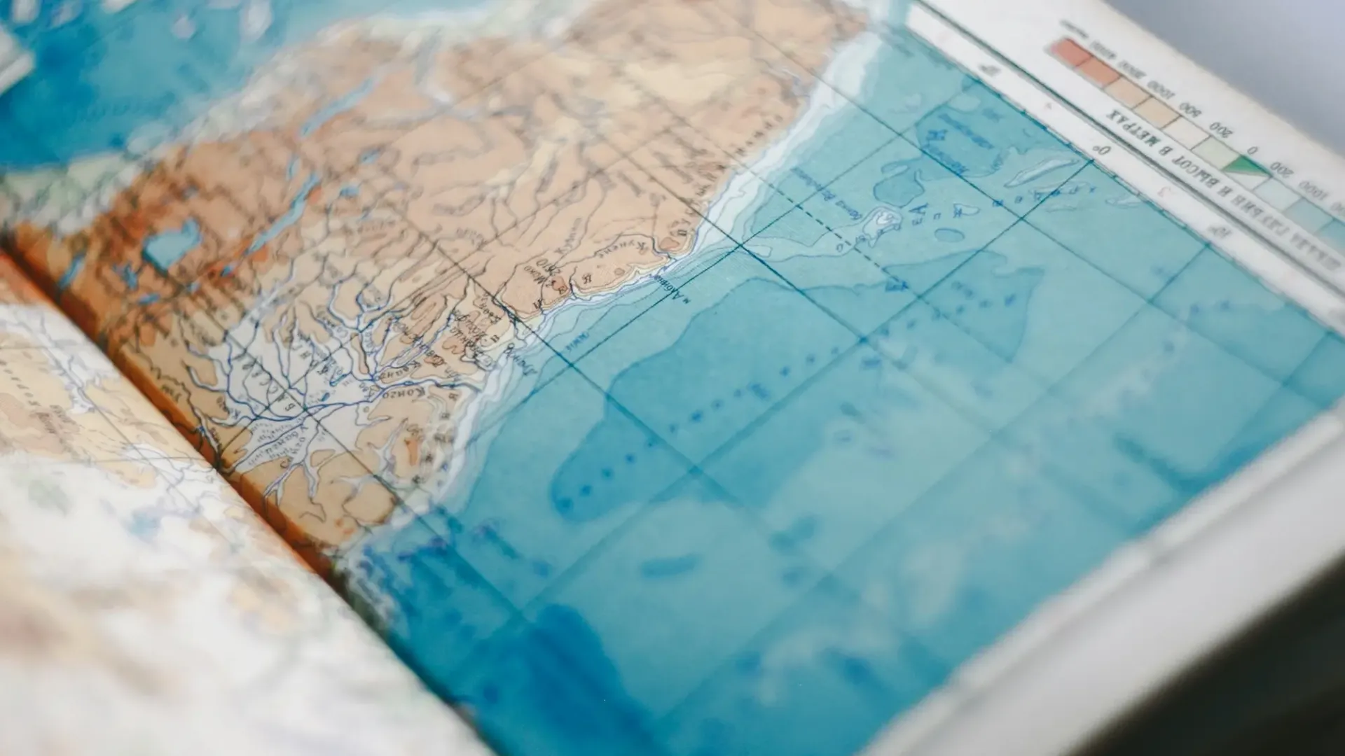
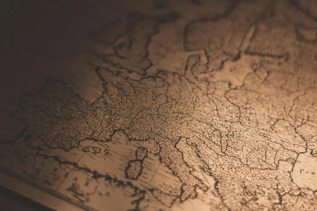
GEBCO began in 1903, initiated by Prince Albert I of Monaco, and has grown from a set of printed charts into one of the most important digital mapping efforts in the world.
Through the 20th century, five editions of the paper chart series were released. In the 1980s, GEBCO shifted toward digital products with the development of the GEBCO Digital Atlas, and by 2003 began producing gridded bathymetric datasets for use in scientific modelling and global forecasting.
Today, GEBCO provides the most complete and up-to-date open-access bathymetric maps of the seafloor — essential for science, navigation, and sustainability.
What is NOC's Role?
On behalf of GEBCO, NOC developed the original GEBCO Digital Atlas (GDA), the first global digital bathymetric map, transitioning GEBCO from paper charts to digital products. Launched in 1994, it provided digitised contour data and software tools on CD-ROM and later DVD.
As the project evolved, BODC began delivering raster grids of seafloor elevation data, making these downloadable and viewable via Web Map Services (WMS).
With the launch of Seabed 2030, BODC now acts as the Global Center, compiling input from regional partners to build and release the official GEBCO global bathymetric grid every year.
We also play a key role in the International Hydrographic Organization’s (IHO) Crowdsourced Bathymetry (CSB) initiative, which collects data from sea vessels from a number of sources such as the yachting community and fishery vessels during routine operations. As a Trusted Node, BODC receives some of these contributions, processes and quality controls the data, and passes them to the IHO’s global data centre.
Our team also contributes technical expertise through GEBCO’s Technical and Regional Mapping Sub-committees, and we maintain the official GEBCO website.

Who Are the Partners in GEBCO?
GEBCO operates with the support of:
- International Hydrographic Organization (IHO)
- Intergovernmental Oceanographic Commission (IOC) of UNESCO
- The Nippon Foundation
The Nippon Foundation–GEBCO Seabed 2030 Project organisations:
- North Atlantic and Indian Ocean Regional Center: Lamont-Doherty Earth Observatory of Columbia University, USA
- Arctic and North Pacific Regional Center: Co-hosted at Department of Geological Sciences, Stockholm University, Sweden; Center for Coastal and Ocean Mapping at the University of New Hampshire, USA
- Pacific Ocean Regional Center: National Institute of Water and Atmospheric Research (NIWA), New Zealand
- Southern Ocean Regional Center: Alfred Wegener Institute (AWI), Germany
How to Get Involved
NOC’s contribution to GEBCO is helping to create the most detailed and comprehensive picture of Earth’s final frontier, the seafloor. This work supports safer shipping, better forecasting, smarter planning, and deeper scientific discovery.