

Monitoring Ecosystems Over Time
JC237, part of the NERC-funded CLASS programme, focussed on the Whittard Canyon (Celtic Margin), and on the Porcupine Abyssal Plain. Both locations are 'fixed-point observatories' within CLASS, where repeated observations provide insights into how benthic ecosystems change over time, and how they react to both natural and anthropogenic disturbances.
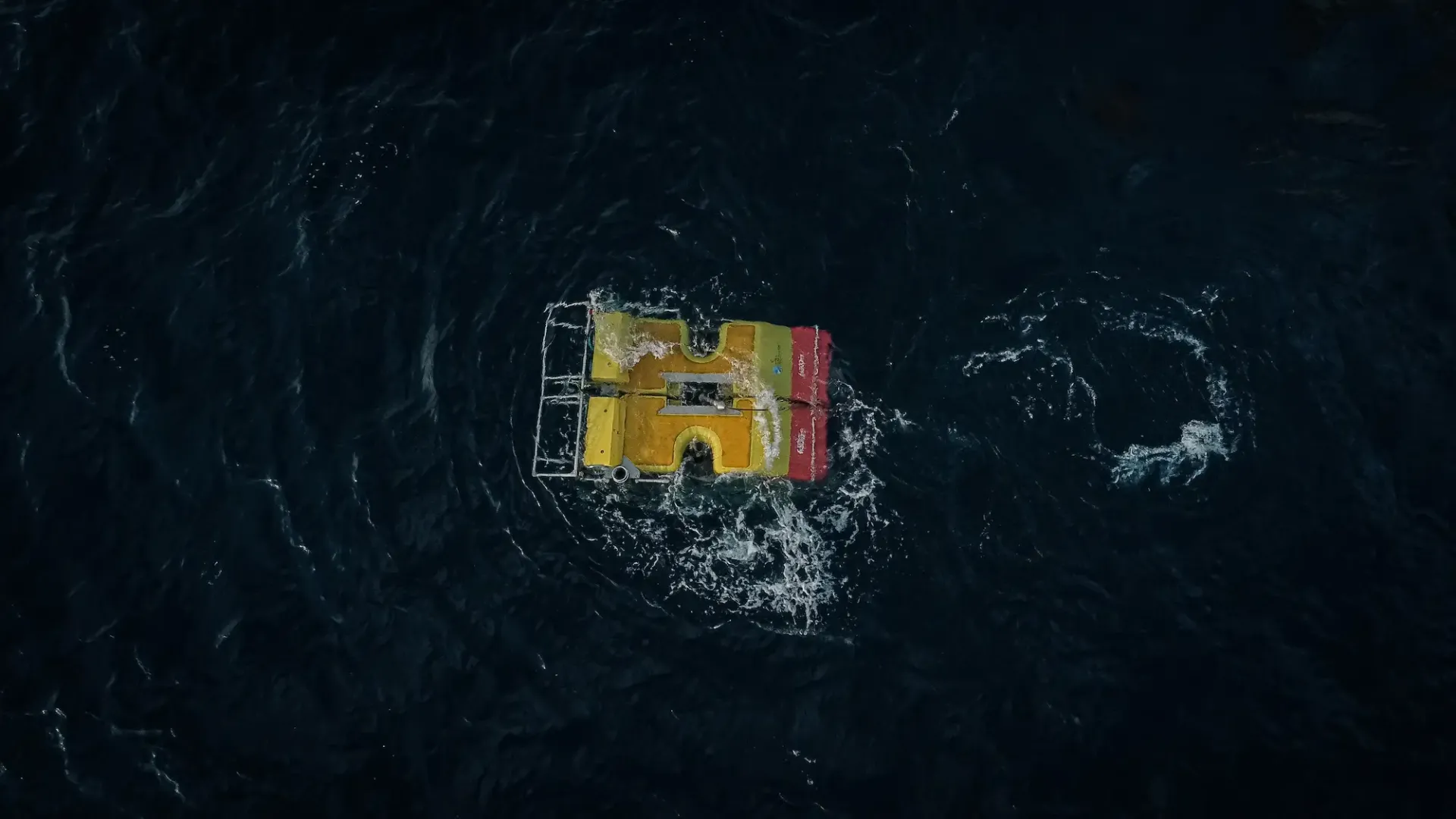
The expedition used the latest in deep-sea observing technology (AUV Autosub 5, ROV Isis, DeepGlider) to achieve its goals.
Expedition Diary
| Ship | Duration | Departed | Returned | General Location | Chief Scientist |
| RRS James Cook | 6/8/22 - 4/9/22 (29 days) | Southampton, UK | Southampton, UK | Bay of Biscay / North East Atlantic Ocean | Professor Veerle Huvenne |
JC237 was one of the main expeditions of the CLASS National Capability programme funded by NERC (UK). Delayed by two years as a result of the COVID-19 pandemic, the expedition combined two important pieces of observational work for the CLASS programme.
The main aim of the cruise was to revisit key sites, last surveyed on JC125 in 2015, in the Whittard Canyon system on the Celtic Margin. This submarine canyon, and its protected area (The Canyons Marine Conservation Zone in English waters) is one of the long-term benthic time-series locations of the CLASS programme. The goal of the survey was to increase our understanding of benthic ecosystem change and recovery in the deep sea, under either natural (e.g. sediment flows, flank collapses) or anthropogenic (e.g. bottom trawling) environmental disturbance. Furthermore, the new datasets expand the general knowledge on the geological framework, sediment dynamics, current regimes and habitat distributions in land-detached submarine canyons – important connecting pathways between shelf and deep sea.
The second CLASS-related aim was to carry out photographic surveys at the Porcupine Abyssal Plain Sustained Observatory (PAP-SO) – the longest-running deep-water observatory worldwide. Annual observations at this location create an invaluable record. The availability of an ROV (first time for the PAPSO site) and a deep-water AUV (only second visit) during JC237 opened new opportunities for detailed sampling and extensive imaging of the benthic community.
What Equipment Was Deployed?
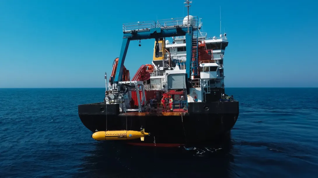
JC237 had a technical demonstrator/development component: it was the first science expedition for the brand-new Autosub 5 deep-water AUV. Furthermore, Autosub 5 was equipped with the new RoCSI eDNA sampler, enabling in-situ sampling and preservation of eDNA at depths up to 4500m. This demonstrator was part of the iAtlantic project.
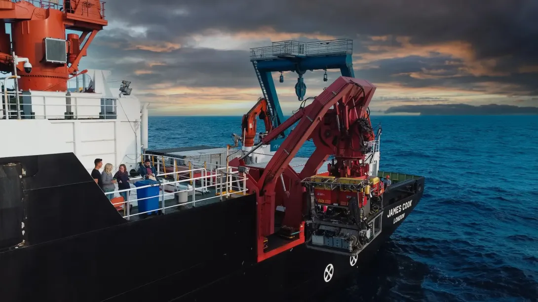
Learn MoreOne of the aims of JC237 was to repeat video surveys carried out by NOC's Remotely Operated Vehicle (ROV) from 2009 to 2015 to evaluate changes in canyon morphology, benthic community composition and species distribution patterns.
Learn MoreDeep Glider, also undertaking it's first official scientific mission on JC237, assisted in exploring depths as deep as 2300m and undertaking in-depth scientific sampling.
Learn MoreJC237 Key Stats
Photographs taken of the deep ocean
Sidecans and multibeam sonars
CTD casts
ROV dives
Where Did JC237 Take Place?
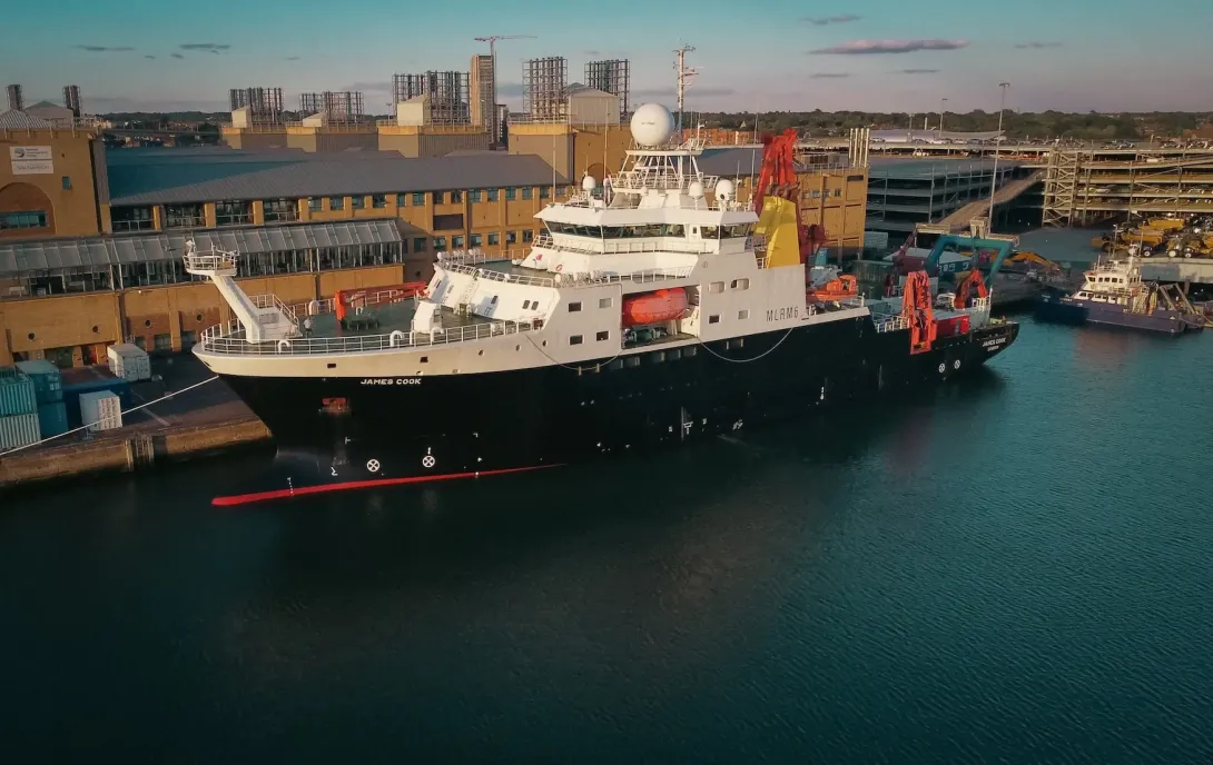
Onboard the NOC-operated RRS James Cook, this expedition travelled to an area visited frequently by scientists and researchers. This time, the expedition aimed to re-examine and repeat data from a previous journey.
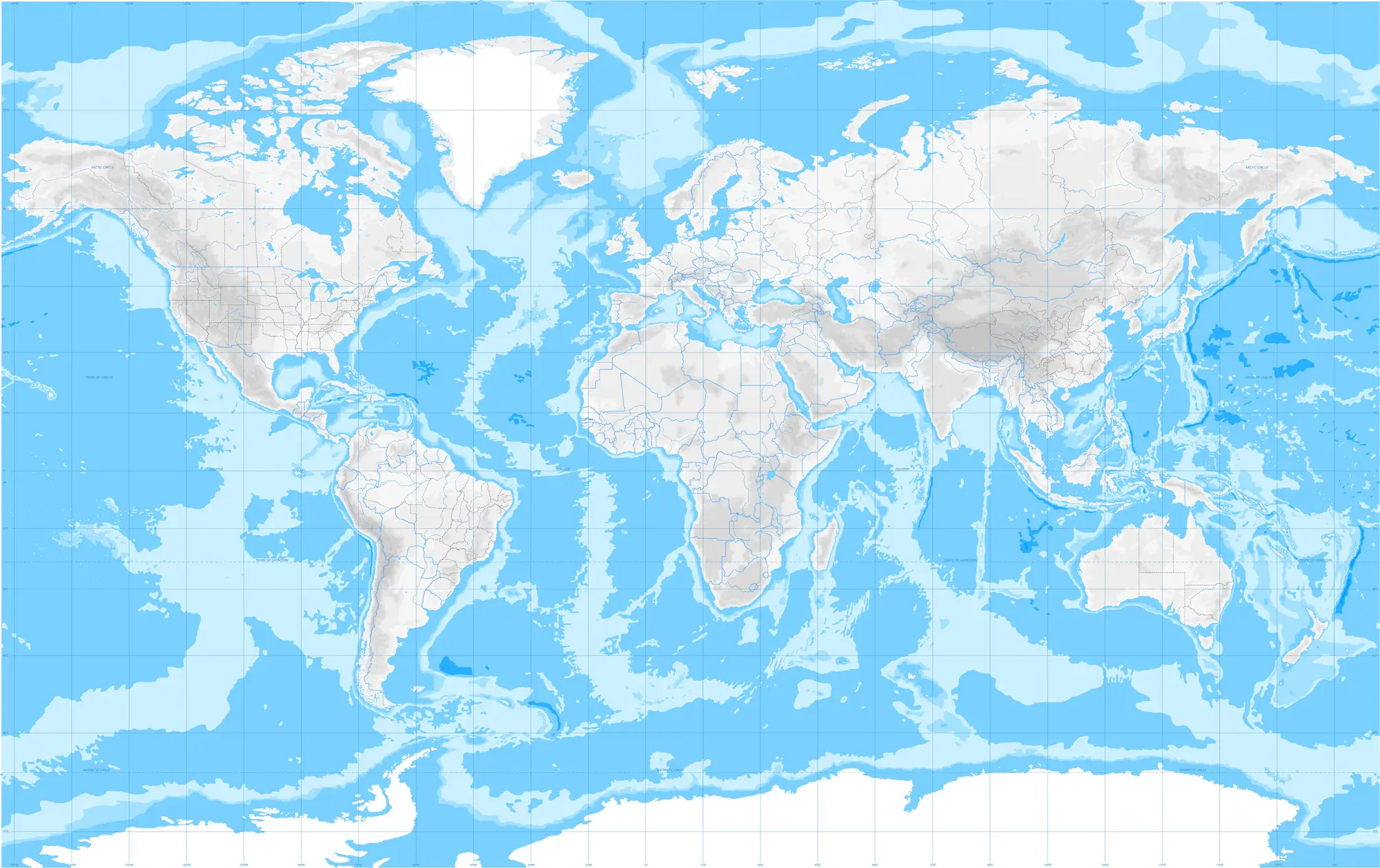
Whittard Canyon system on the Celtic Margin is a submarine canyon, and its protected area (The Canyons Marine Conservation Zone in English waters) is one of the long-term benthic time-series locations. The Porcupine Abyssal Plain
Sustained Observatory (PAP-SO) is the longest-running deep-water observatory worldwide.
Whittard Canyon system on the Celtic Margin is a submarine canyon, and its protected area (The Canyons Marine Conservation Zone in English waters) is one of the long-term benthic time-series locations. The Porcupine Abyssal Plain
Sustained Observatory (PAP-SO) is the longest-running deep-water observatory worldwide.
Expedition Gallery
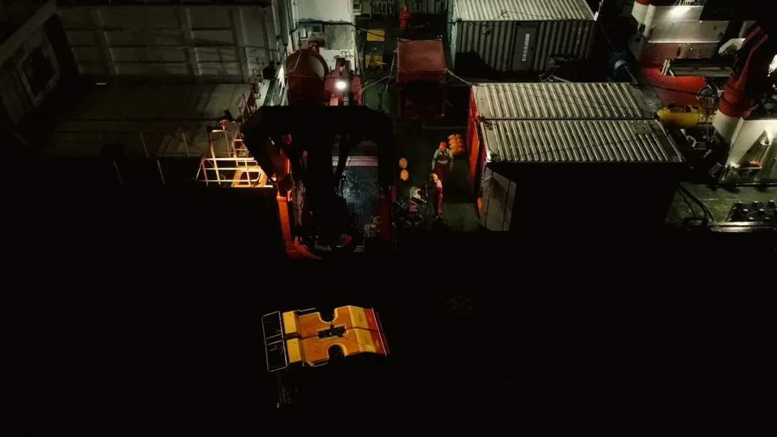
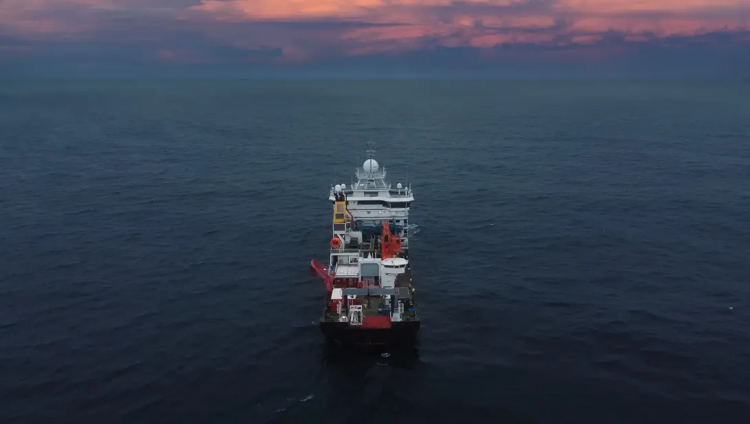
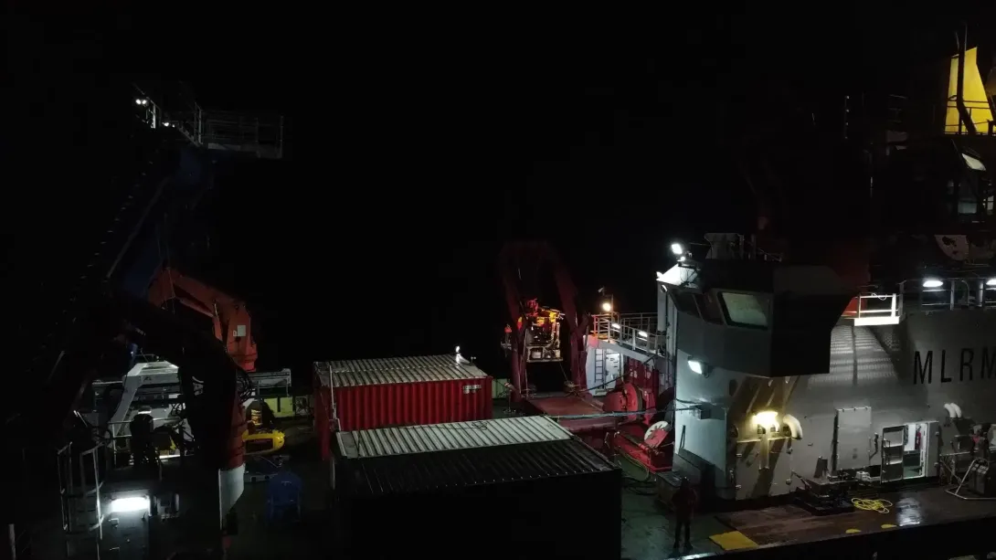
Many images of RRS James Cook and deployments of the equipment being used during JC237 were captured using a drone, which was being piloted by a member of the expedition crew onboard.
Dive Deeper: Access the Cruise Report
Via the British Oceanographic Data Centre (BODC), a full cruise report for expeditions are available. This includes information on locations, objectives as well as the data collected.