

Testing Innovative Tech in the Ultimate Deep End
DY152 was a highly anticipated expedition to complete final deep-sea tests of our newest ocean robots, sensors and control software.
A culmination of several years of shore-based trials, this 20-day expedition saw deployment of several autonomous underwater vehicles (AUV) out into Haig Fras, a Marine Protected Area of Celtic Sea lying about 95 km northwest of the Isles of Scilly, and the deep waters of the Whittard Canyon complex 300km to the south west.
Expedition Diary
| Ship | Duration | Departed | Returned | General Location | Chief Scientist |
| RRS Discovery | 10/7/22 - 23/7/22 (13 days) | Southampton, UK | Southampton, UK | Celtic Sea | Dr Alex Phillips |
Week 1 Update (Sunday 10th – Friday 15th July 2022)
It’s been a successful first week for DY152 onboard RRS Discovery at the Greater Haig Fras Marine Protected Area.
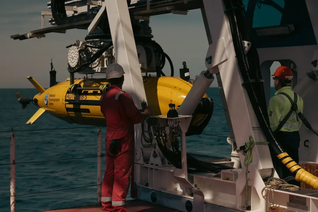
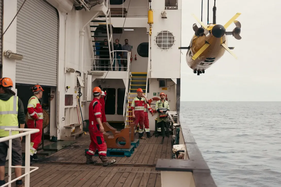
Autosub 5, our new work-class AUV, carried out it’s first ever science survey by taking part in a sidescan sonar mission that will help generate habitat maps. During it’s mission it captured this scan of rock striations. It also took part in it’s first ever overnight mission on multibeam and camera surveys.
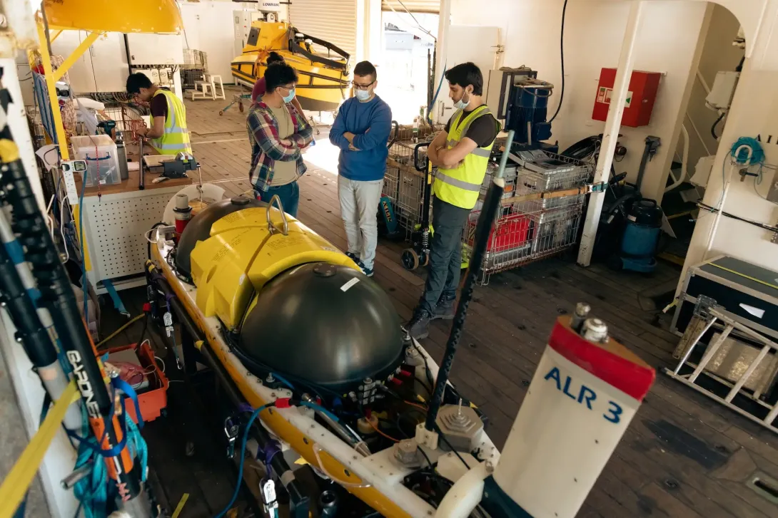
Meanwhile Autosub Long Range (ALR3) spent two and a half days capturing seabed imagery using the University of Southampton’s unique and low power 3D visual mapping system BioCAM.
Week 2 Update (Saturday 16th – Friday 22th July 2022)
Autosub 5 achieved it’s deepest ever dive this week, reaching an incredible depth of 4197.48m! It spent 14 hours in the water undertaking 50km of multibeam and sidescan sonar mapping south of the Whittard Canyon. On a separate deployment the AUV also collected 25,000 images of the seafloor and marine life, including Starfish, Eels and Lobsters.
Autosub Long Range (ALR3) went 5 days unaccompanied to the South West Deeps (East) of the Marine Protected Area. Equipped with the University of Southampton's BioCAM, it completed water column and benthic surveys.
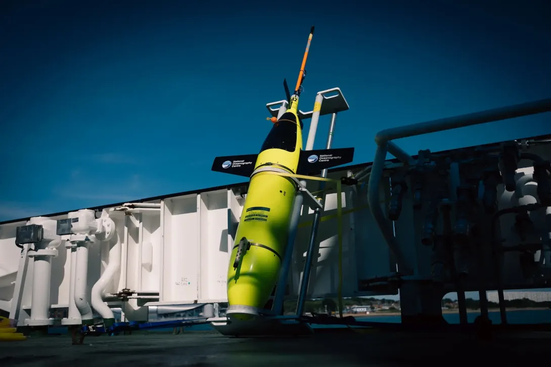
For the first time in the expedition Deepglider was deployed. The glider, built to withstand the 600 atmospheres of pressure found in the deepest parts of the ocean, profiled south of Whittard Canyon down to depths of 4000m.
What Equipment was Deployed?
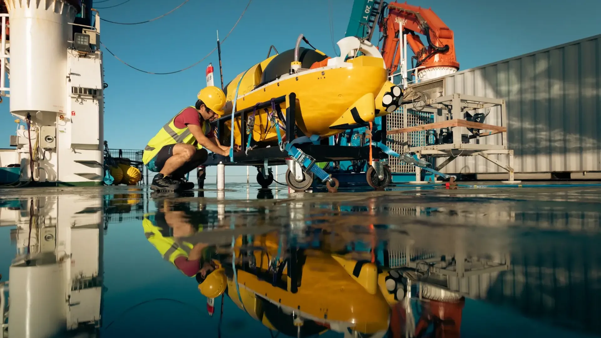
Replacing the venerable Autosub6000, our new work-class AUV is equipped with higher power sensors including state-of-the-art sonars and imaging systems that will enable scientists to create detailed maps and establish habitat characteristics of the seafloor. Though commissioned for 6000m deep water operations, Autosub 5 is rapidly reconfigurable for 2000m under-ice missions. From the outset it has been designed to have the systems redundancy and under-ice navigation capabilities that allow it to operate safely underneath vast areas of sea ice or glaciers. The DY152 expedition to Haig Fras and Whittard Canyon is the final commissioning trial of Autosub 5, marking the last of several major milestone on its journey to active service.
Learn MoreThis is a unique and low power 3D visual mapping system that can obtain highly detailed colour images and topographical measurements of the seafloor such as measuring the cover of live cold-water coral within Darwin Mounds marine protected areas or the benthic habitat of Haig Fras. The BioCam sensor, being developed by the University of Southampton, was first integrated with the NOC’s Autosub Long Range back in 2021 for kick-off trials in Loch Ness. DY152 continues on from the success of this trial and will test the integration and sensor performance in deep water.
Learn MoreThis vehicle is built to withstand the 600 atmospheres of pressure found in the deepest parts of the ocean, and has an endurance of six months or more, depending on payload. As with other submarine gliders, the Deepglider carries a range of scientific sensors that enable it to measure temperature, salinity, phytoplankton abundance and other parameters. These data can be transferred back to shore via Iridium satellite link when the glider surfaces, and the pilots can then adjust the glider’s flight and sampling regime and make course adjustments.
Learn MoreWhere Did DY152 Take Place?
Onboard world-class research vessel RRS Discovery, scientists and engineers travelled to an area of the Atlantic Ocean that has been studied by marine scientists and provided the perfect area to deploy ground-breaking marine technology.
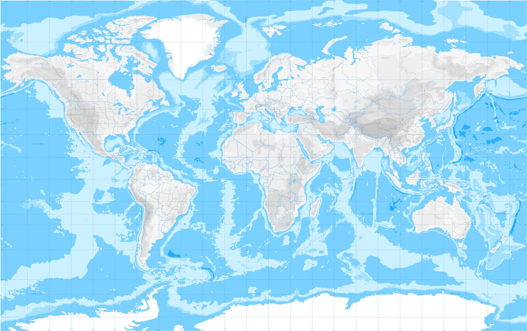
The expedition took researchers to Haig Fras, a Marine Protected Area of Celtic Sea lying about 95 km northwest of the Isles of Scilly, and the deep waters of the Whittard Canyon complex 300km to the south west.
The expedition took researchers to Haig Fras, a Marine Protected Area of Celtic Sea lying about 95 km northwest of the Isles of Scilly, and the deep waters of the Whittard Canyon complex 300km to the south west.
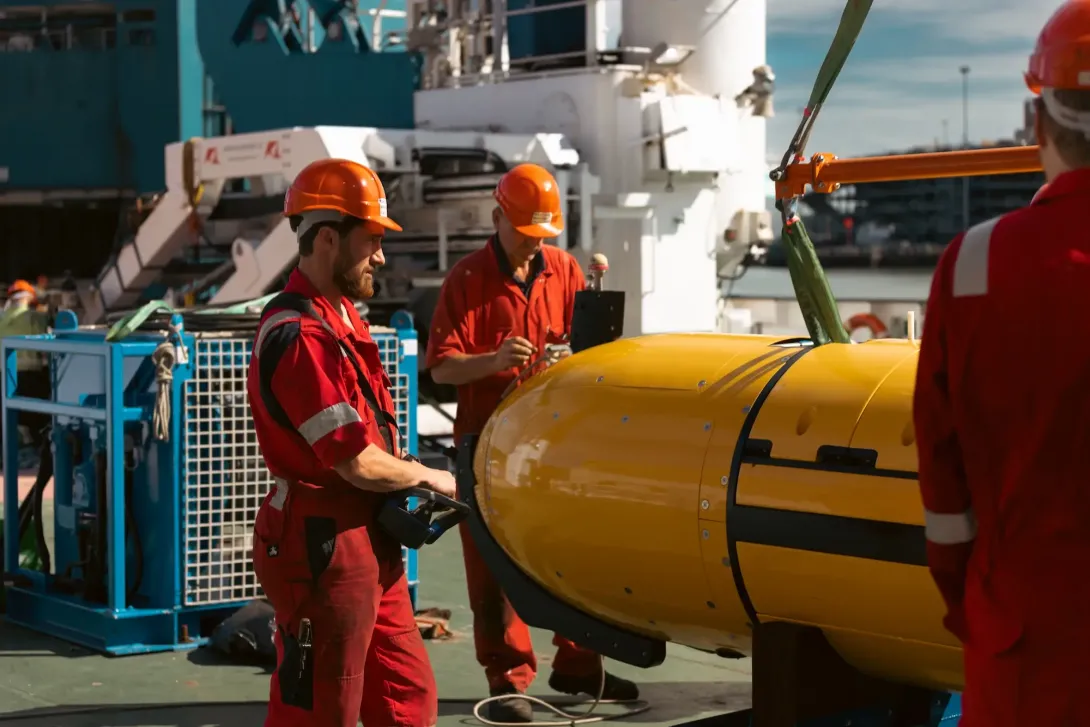
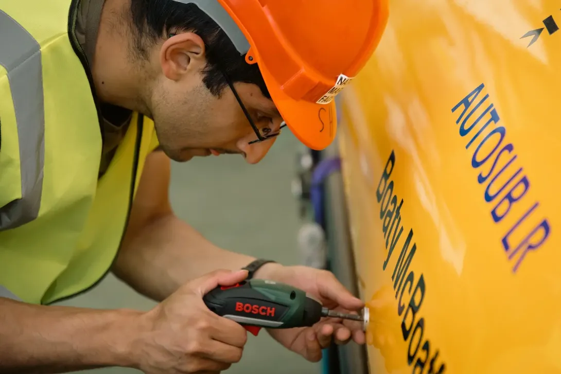
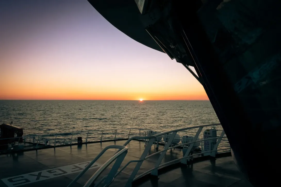
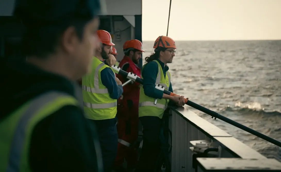
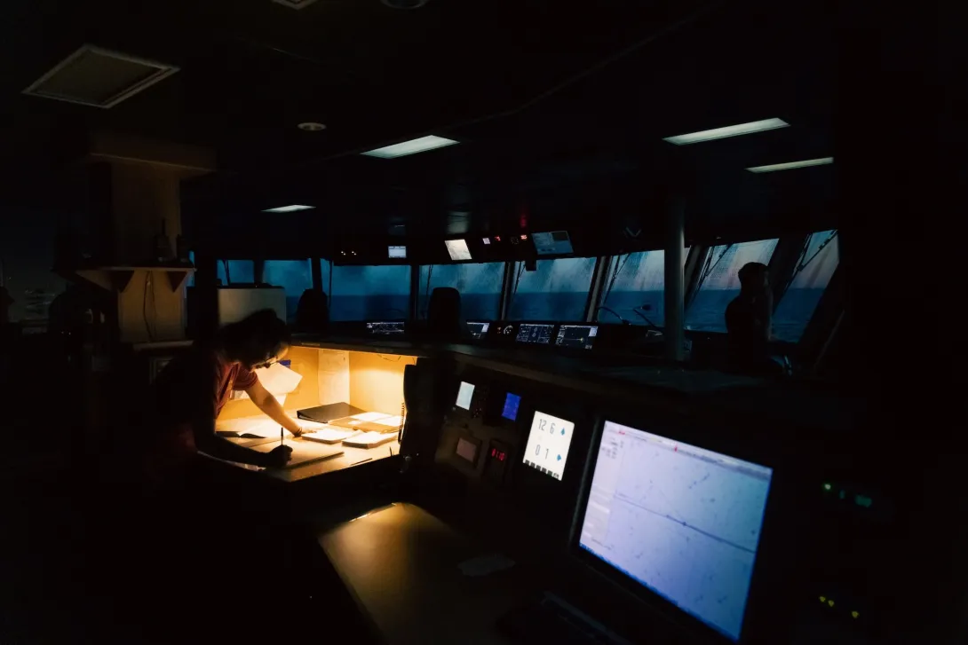
Expedition Gallery
Along with highly-skilled engineers and scientists, NOC's photographer and videographer was onboard to capture every moment of the highly-anticipated expedition. A selection of the photos captured can be seen below.
In The Middle Of Nowhere: DY152 Test Trials
Along with photography, this video was created by NOC's photographer and videographer to document the vital work that goes on to prepare and deploy ocean vehicles and collect vital data on our ocean.
Dive Deeper: Access the Cruise Report
Via the British Oceanographic Data Centre (BODC), a full cruise report for expeditions are available. This includes information on locations, objectives as well as the data collected.