

Understanding Earth's Most Dangerous Hazards
Scientists from the NOC led an international team on a groundbreaking expedition in and around Santorini, Greece, to enhance our ability to forecast and understand the hazards posed by Earth’s most explosive volcanic eruptions.
Using advanced underwater robots, scientists and engineers have studied how circulating fluids interact with magma deep beneath the Earth's surface. By mapping how fluid pathways connect to magma chambers and how these systems respond during volcanic events, they aim to revolutionise understanding of how fluid circulation can influence the strength and hazard of volcanic eruptions.
Expedition Diary
| Ship | Duration | Departed | Returned | General Location | Chief Scientist |
| RRS Discovery | 3/3/25 - 28/3/25 (25 days) | Heraklion, Greece | Heraklion, Greece | Aegean Sea | Dr Isobel Yeo |
Caldera volcanoes generate the most powerful explosive eruptions on Earth, yet the processes controlling why some eruptions are catastrophic while others are comparatively mild remain poorly understood. A critical uncertainty is the role of fluids—particularly hydrothermal, meteoric, and seawater—in regulating volcanic explosivity. Interactions between these fluids and magma can either enhance explosivity by sealing permeability pathways, trapping magmatic gases, and promoting over-pressurisation, or reduce explosivity by maintaining permeable pathways that allow efficient outgassing. Because direct evidence of these processes is commonly destroyed during eruptions, this represents a major blind spot in volcanic hazard forecasting, especially for calderas that are submerged or host crater lakes, such as Campi Flegrei, Taupo, Yellowstone, and Santorini. Understanding how hydrothermal circulation modulates eruption dynamics is therefore essential for improving global assessments of volcanic risk.
The scientific justification for this expedition was to directly characterise a caldera hydrothermal system and its connection to the underlying magma reservoir in unprecedented detail, before it is disrupted by eruption. By mapping permeability pathways, measuring how hydrothermal alteration modifies rock strength and porosity, and quantifying how magmatic volatiles are transferred into hydrothermal fluids, the project aims to resolve the paradox of fluids both increasing and decreasing eruption explosivity. Central scientific questions include where hydrothermal pathways are located and how they evolve, how effectively hydrothermal systems outgas magmatic intrusions, and how these systems respond to renewed magma input during periods of unrest, potentially triggering phreatic or phreatomagmatic explosions.
The expedition focused on the Christiana–Santorini–Kolumbo volcanic field, using Santorini and Kolumbo as complementary case studies of low-temperature and high-temperature caldera-hosted hydrothermal systems. By integrating high-resolution geophysical imaging of subsurface fluid pathways with detailed geochemical analyses of vent fluids and altered rocks, the project will determine how geological structure controls fluid flow, how hydrothermal systems regulate magmatic outgassing, and how they evolve during intrusion. The ultimate aim is to produce globally applicable models that link hydrothermal circulation to eruption style, providing a step change in forecasting volcanic behaviour and mitigating the hazards posed by caldera volcanoes worldwide.
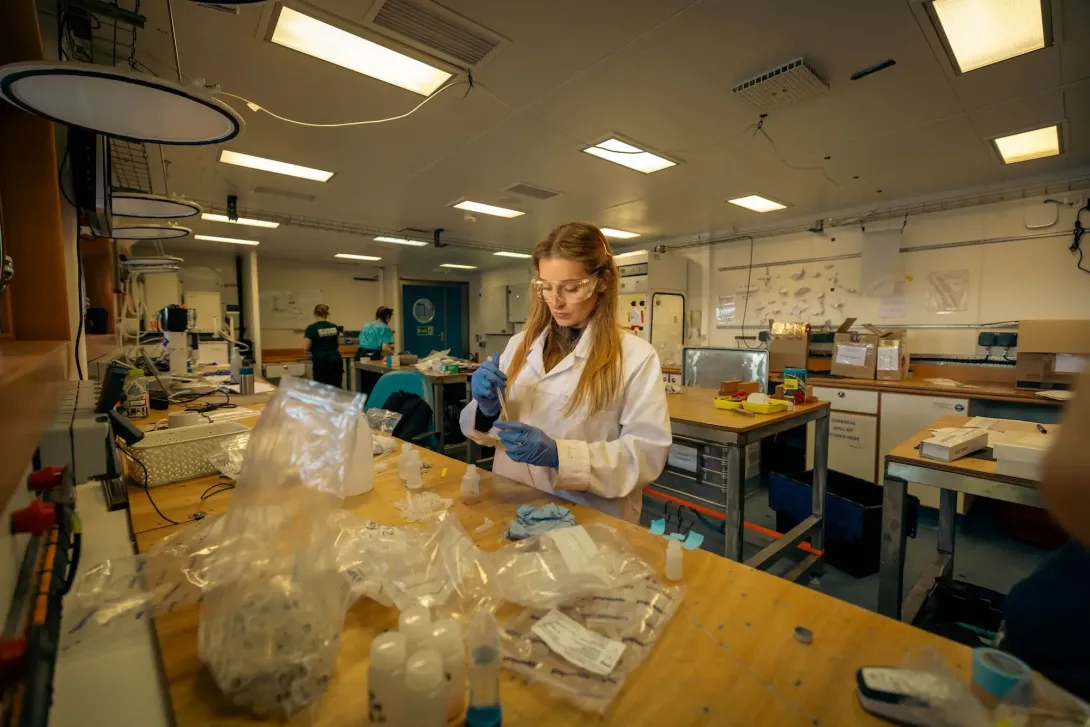
The expedition combined a wide range of marine geophysical, geochemical, and sampling equipment to characterise hydrothermal activity within and around the calderas of Santorini and Kolumbo. Key tools included broadband ocean bottom seismometers (OBS) and ocean bottom electromagnetometers (OBEM) to image subsurface structure and fluid pathways, controlled-source electromagnetic (CSEM) systems to map electrical conductivity related to hydrothermal circulation, and multibeam and sub-bottom profilers for high-resolution seafloor and shallow subsurface mapping. These datasets were complemented by gravity coring to recover longer sediment records, McLane pumps and radium samplers to quantify fluid fluxes and residence times, and heat-flow probes to characterise.
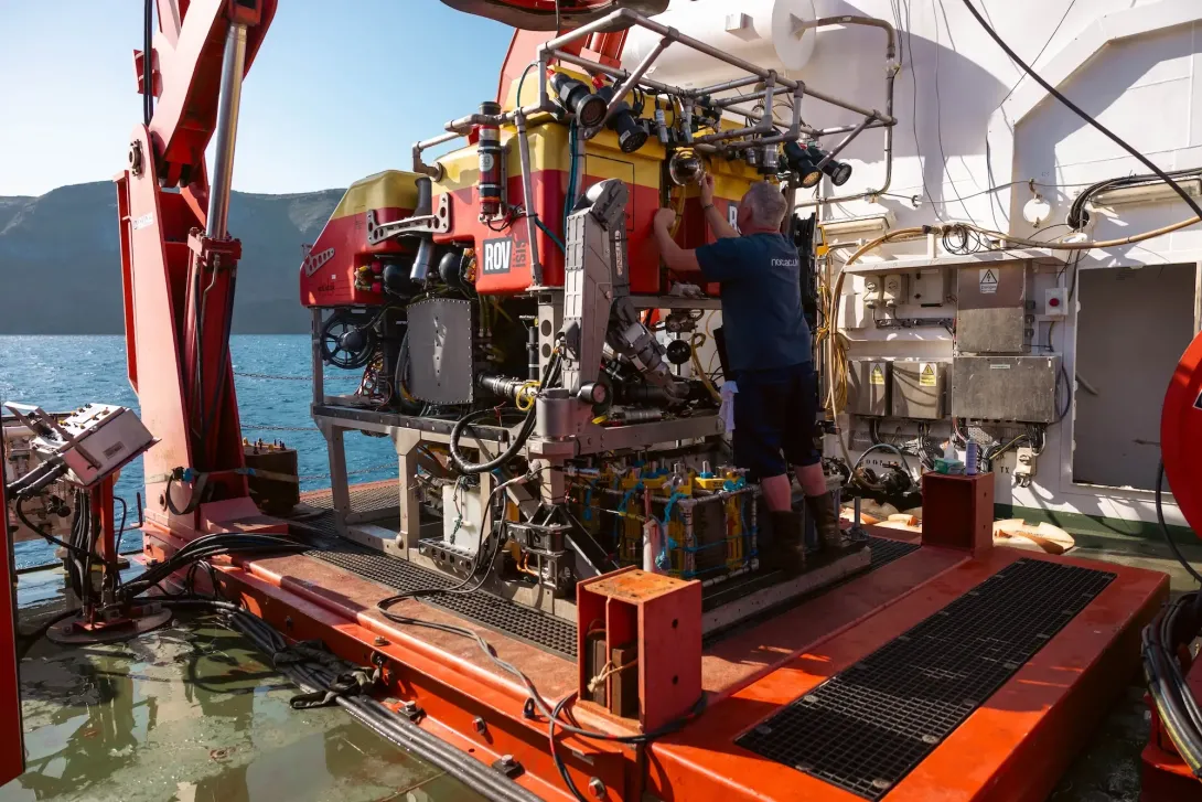
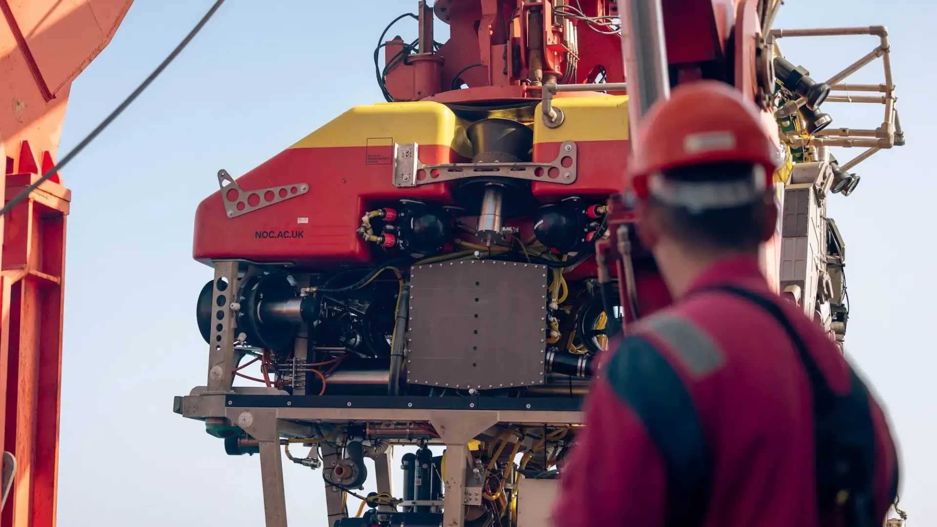
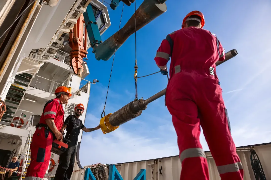
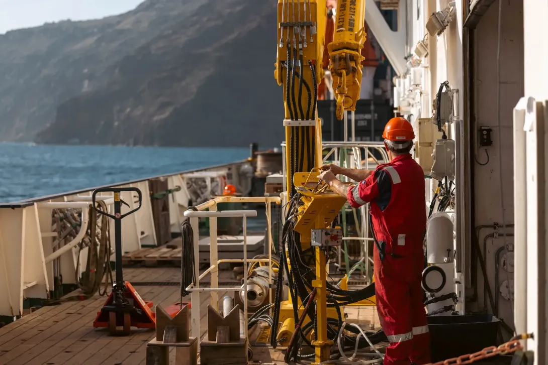
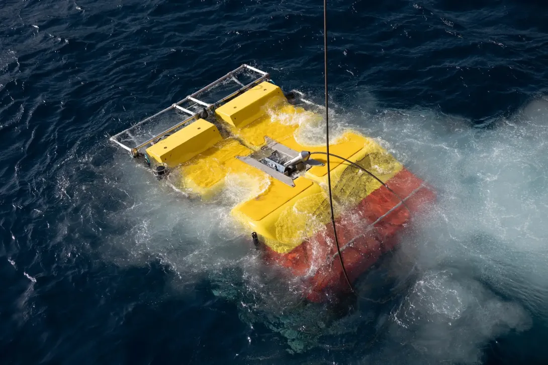
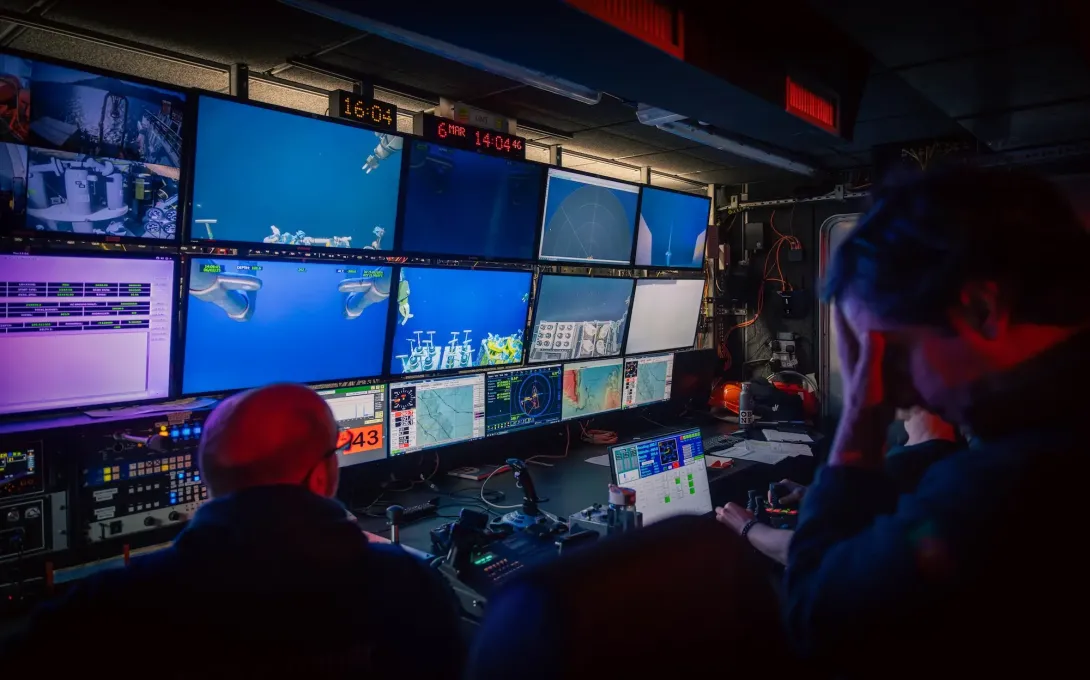
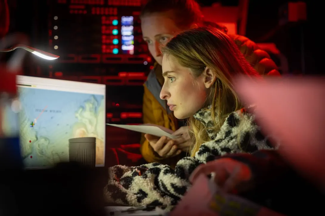
NOC's Remotely Operated Vehicle (ROV)
Remotely Operated Vehicle (ROV) dives were central to the programme, enabling direct visual observations, precise temperature measurements, fluid and gas sampling, rock sampling, and the collection of push cores.
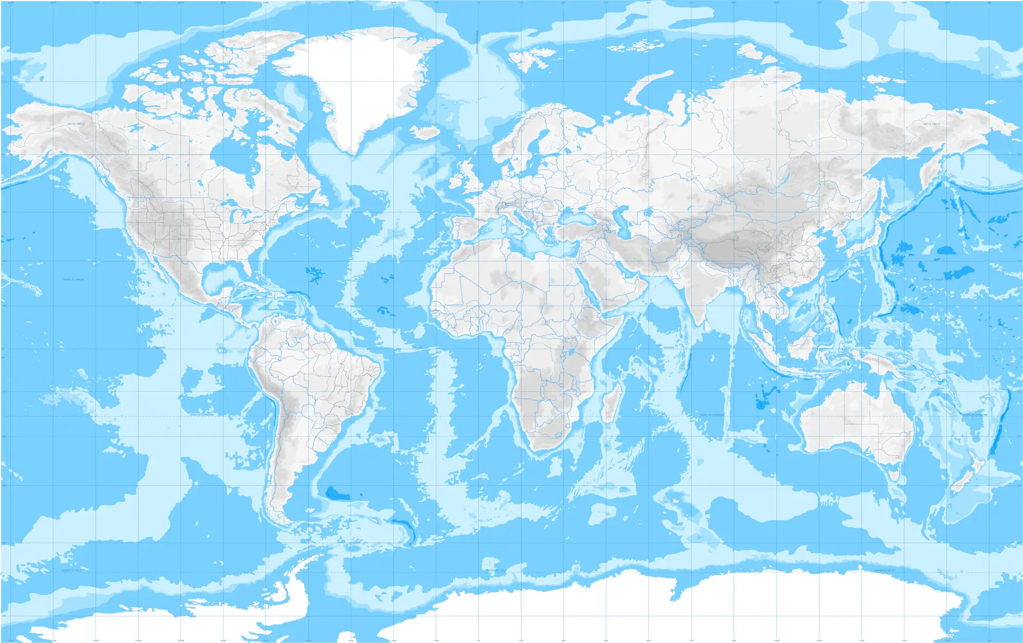
Where Did DY190 Take Place?
RRS Discovery travelled to Santorini, an island in the southern Aegean Sea, located about 200 km southeast of the Greek mainland. Known for it's volcanic activity, the island was the perfect location to study the effects eruptions have on our ocean.
The expedition focused on the Christiana–Santorini–Kolumbo volcanic field, using Santorini and Kolumbo as complementary case studies of low-temperature and high-temperature caldera-hosted hydrothermal systems.
The expedition focused on the Christiana–Santorini–Kolumbo volcanic field, using Santorini and Kolumbo as complementary case studies of low-temperature and high-temperature caldera-hosted hydrothermal systems.
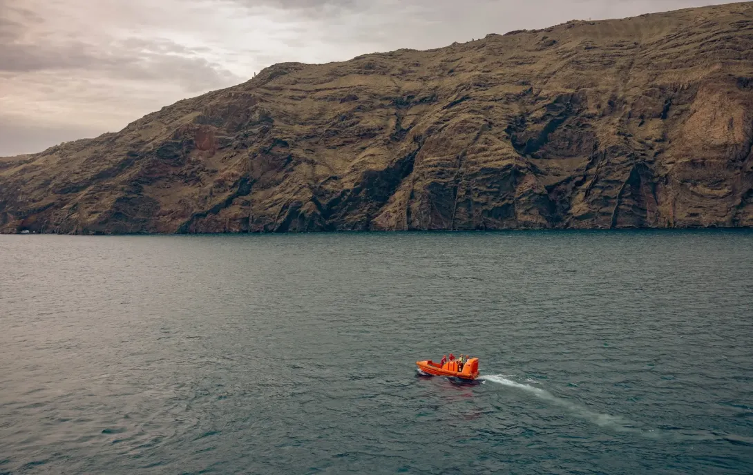
Expedition Gallery
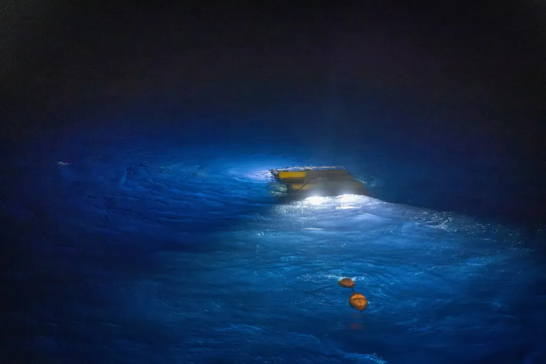
Along with highly-skilled engineers and scientists, NOC's photographer and videographer was onboard to capture moments from the expedition, including the control room of the ROV. A selection of the photos captured can be seen below.
Dive Deeper: Access the Cruise Report
Via the British Oceanographic Data Centre (BODC), a full cruise report for expeditions are available. This includes information on locations, objectives as well as the data collected.