


Studying Multidecadal Change
Through international collaborations and advances in technology, multidisciplinary ocean observatories are increasingly capable of providing critical time-series monitoring of our oceans. The Porcupine Abyssal Plain (PAP-SO) open-ocean time-series site in the Northeast Atlantic (49.0 °N 16.5 °W, 4850m water depth), is one of a small number of oceanic sites that has achieved full depth multidecadal monitoring.
Observations of multidecadal duration are essential for the detection of long-term change in the ocean and key to understanding our varying climate. Results from the PAP-SO demonstrate the importance of these long-term records of ocean variables and processes.
Expedition Diary
| Ship | Duration | Departed | Returned | General Location | Chief Scientist |
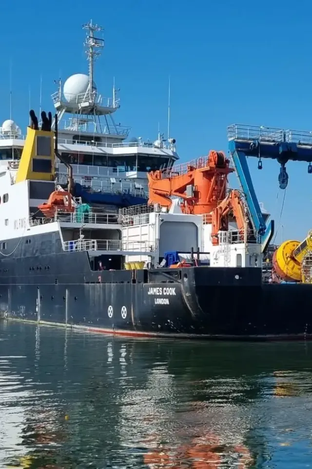
| RRS James Cook | 20/5/24 - 12/6/24 (23 days) | Southampton, UK | Southampton, UK | North East Atlantic Ocean | Dr Andrew Gates Dr Anita Flohr |
The aim of JC263 was to study multidecadal change in the NE Atlantic by continuing long-term observations at the Porcupine Abyssal Plain Sustained Observatory (PAP-SO) and Whittard Canyon. Both sites are part of the Natural Environment Research Council's AtlantiS National Capability project that is managed by the National Oceanography Centre (NOC).
Research at PAP-SO aims to use time-series data on different temporal scales (hours to years) to observe biogeochemical and ecological change at the site. Scientists have been visiting PAP-SO since 1985 to make observations, and the nature of the science has evloved over that time period.
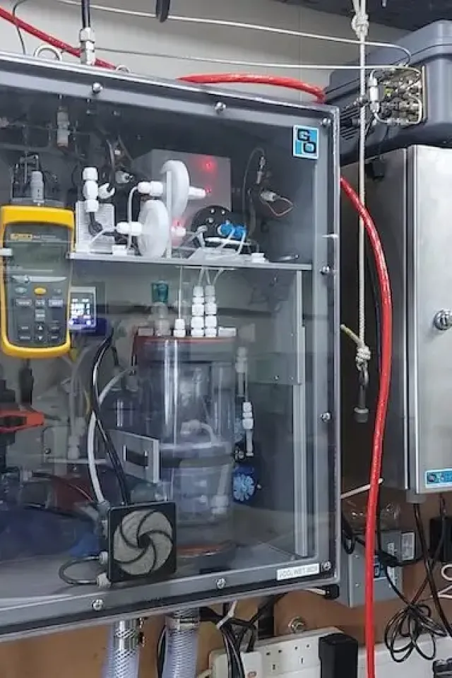
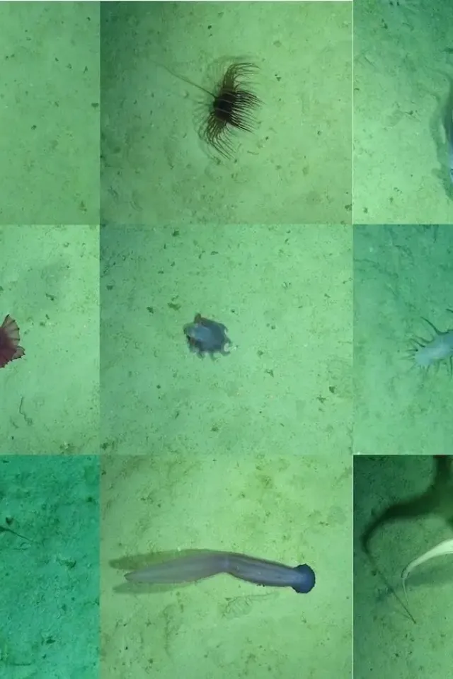
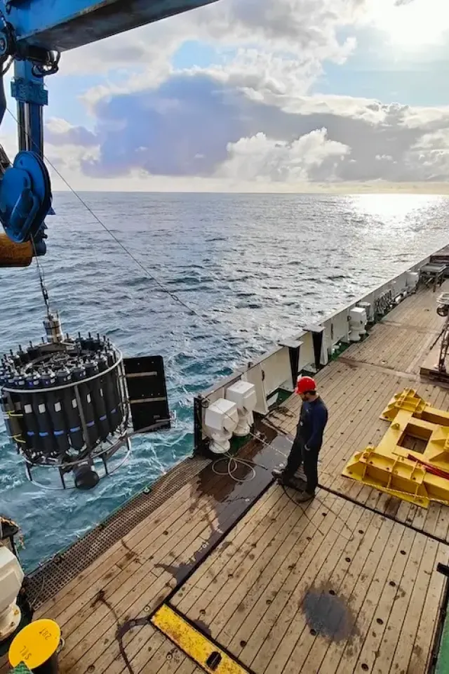
What Equipment Was Deployed?
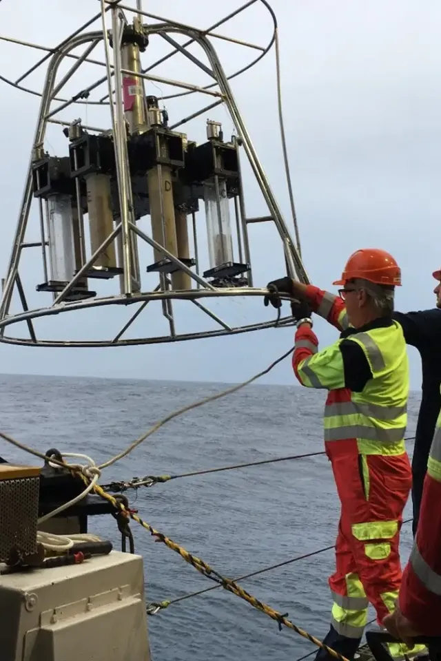
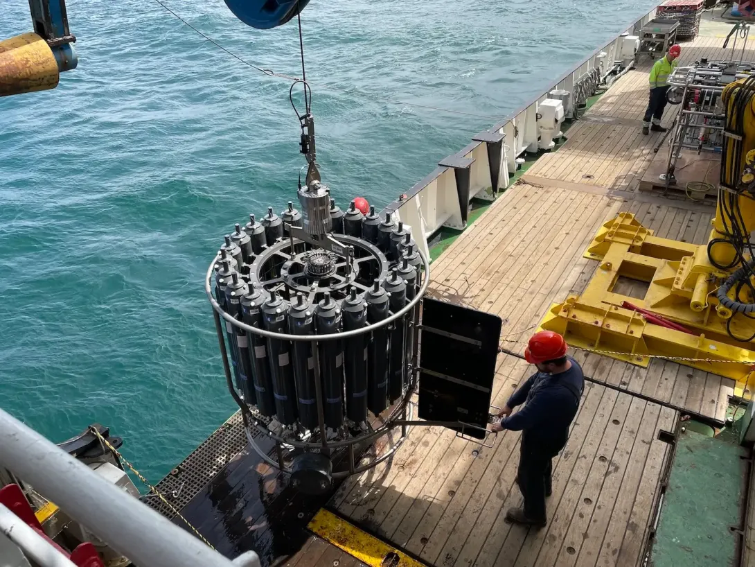
In the Whittard Canyon, CTDs were used to test the release for a new mooring and to study of turbidity in eastern branch of Whittard Canyon. At PAP-SO, CTDs were used for water column profiles and sampling.
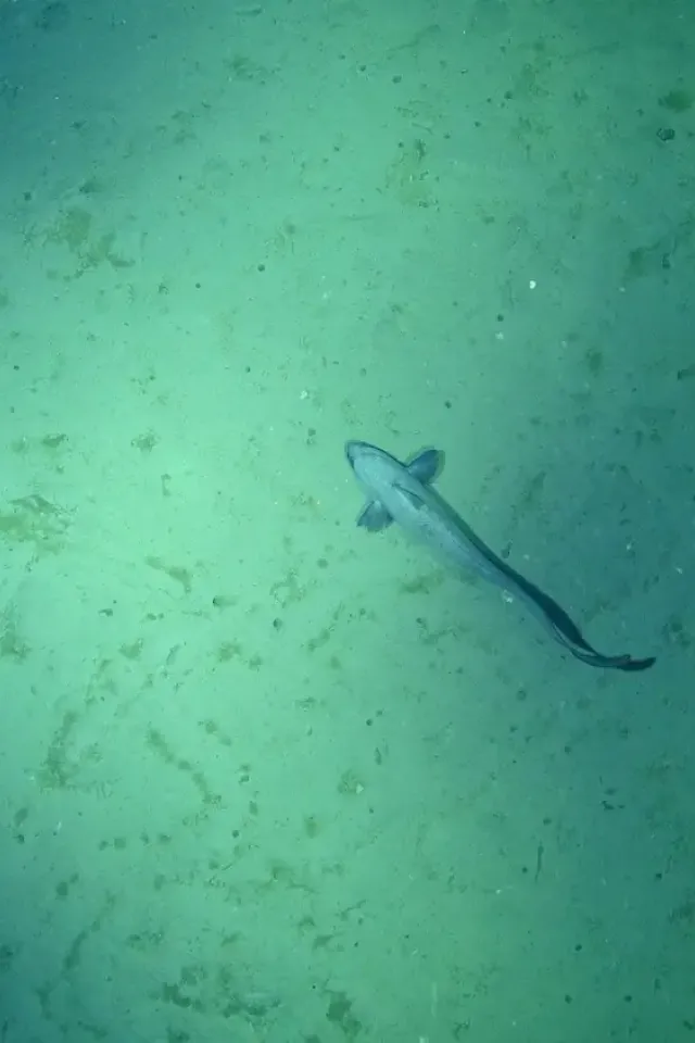
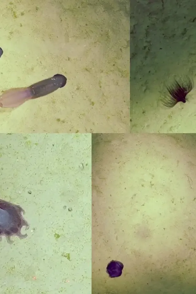
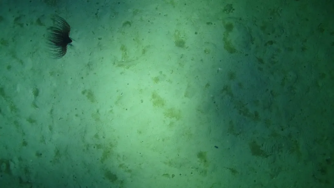
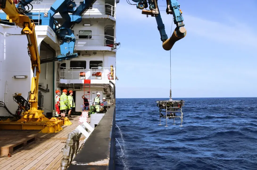
HyBIS was used to take a photographic survey of the seabed. Deployment and recovery of a short-term time-lapse camera for a study lasting the cruise duration (13 days) also took place, as well as a ong-term time-lapse camera for a year-long study.
Learn MoreOne mooring was recovered at the Whittard Canyon, and a sediment trap mooring was recovered and replaced at PAP-SO.
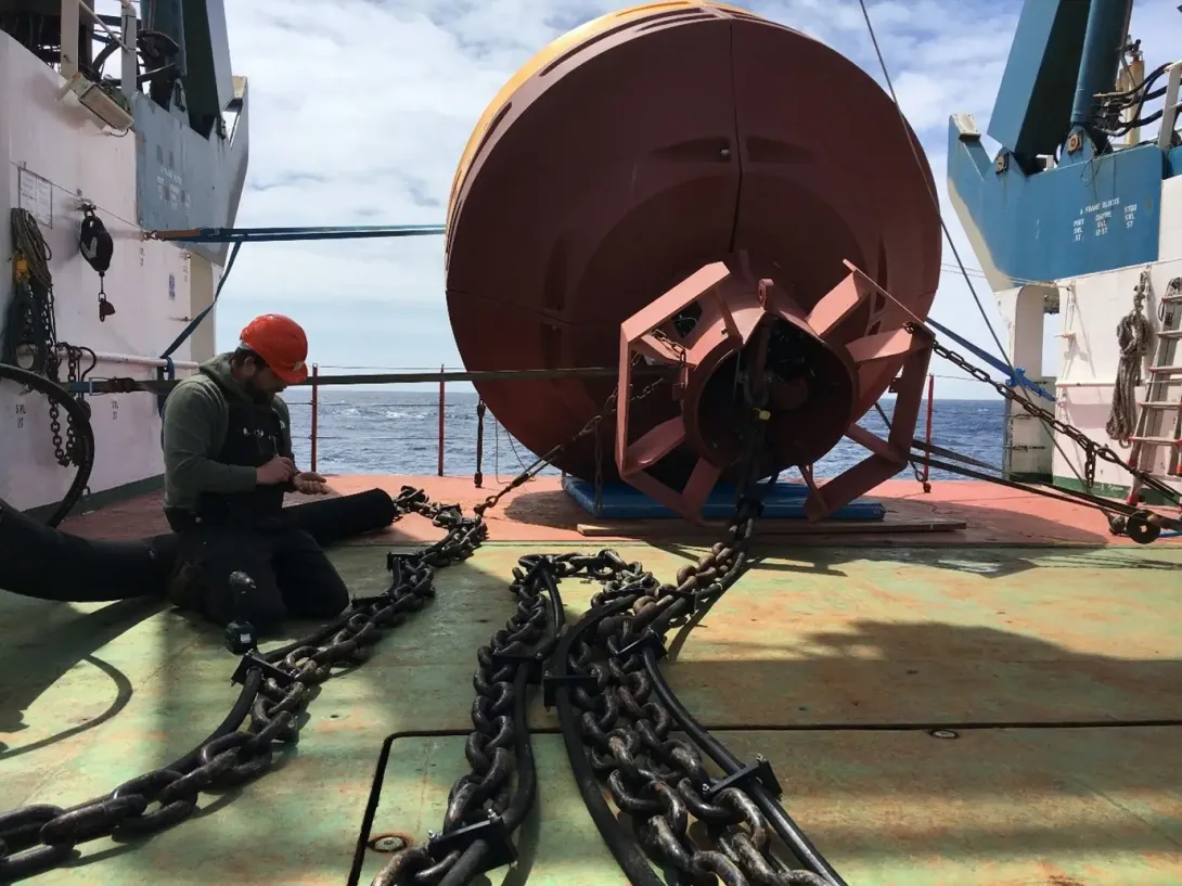
Learn MoreThe Met Office surface ocean ODAS buoy was recovered and replaced whilst also being equipped with NOC biogeochemistry sensors.
1 Argo float was deployed, contributing towards the wider Argo float global observation strategy.
Learn MoreWhere Did JC263 Take Place?
Over the years, NOC has played a pivotal role in maintaining and working with this historic sustained observatory. This expedition follows many before it in travelling to service the significant site.
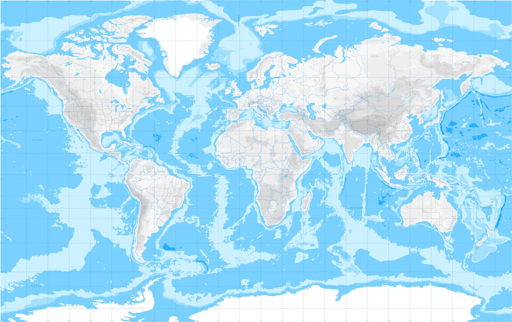
PAP-SO is one of the most remote sites in the North Atlantic - but it’s also one of the most important. Over four decades, it has become one of the world’s longest-running deep-ocean monitoring programmes, offering rare and invaluable insights into life nearly 5,000 m below the surface.
PAP-SO is one of the most remote sites in the North Atlantic - but it’s also one of the most important. Over four decades, it has become one of the world’s longest-running deep-ocean monitoring programmes, offering rare and invaluable insights into life nearly 5,000 m below the surface.
Expedition Gallery
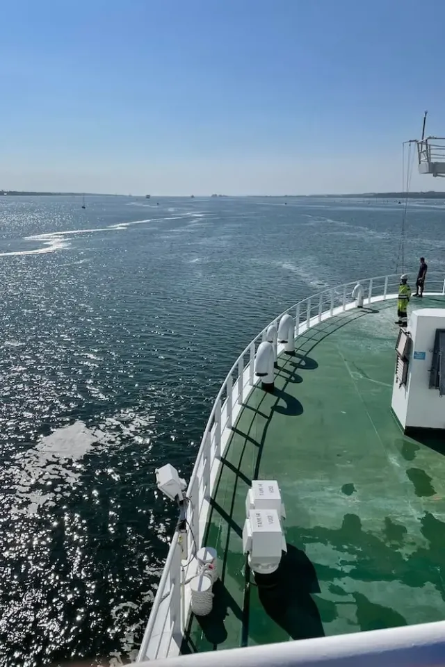
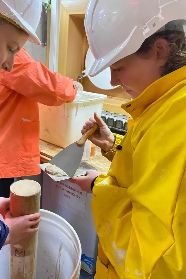
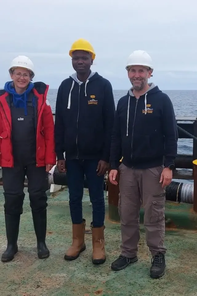
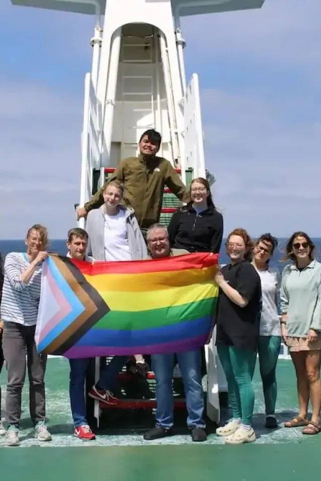
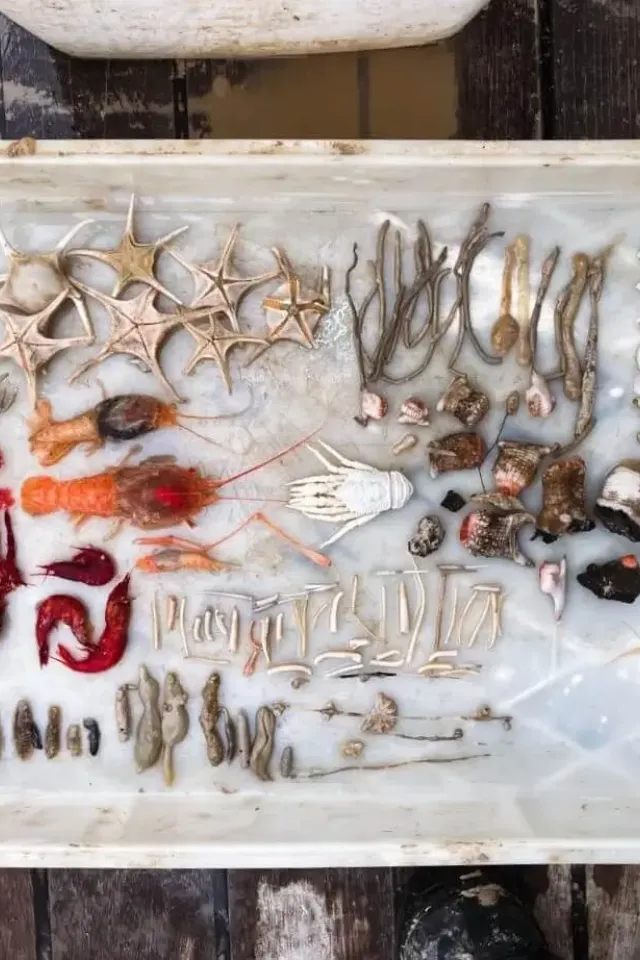
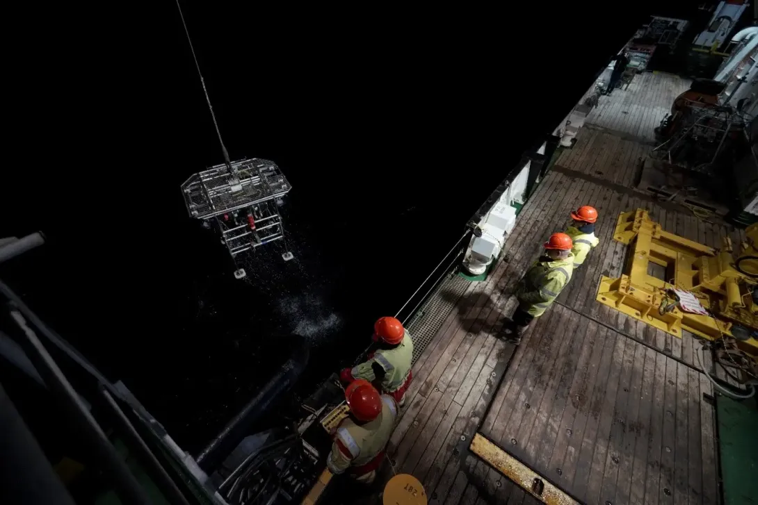
Throughout the expedition, the crew took photos of a range of different activities including technology deployments, specimen collection and day-to-day life.
Dive Deeper: Access the Cruise Report
Via the British Oceanographic Data Centre (BODC), a full cruise report for expeditions are available. This includes information on locations, objectives as well as the data collected.