

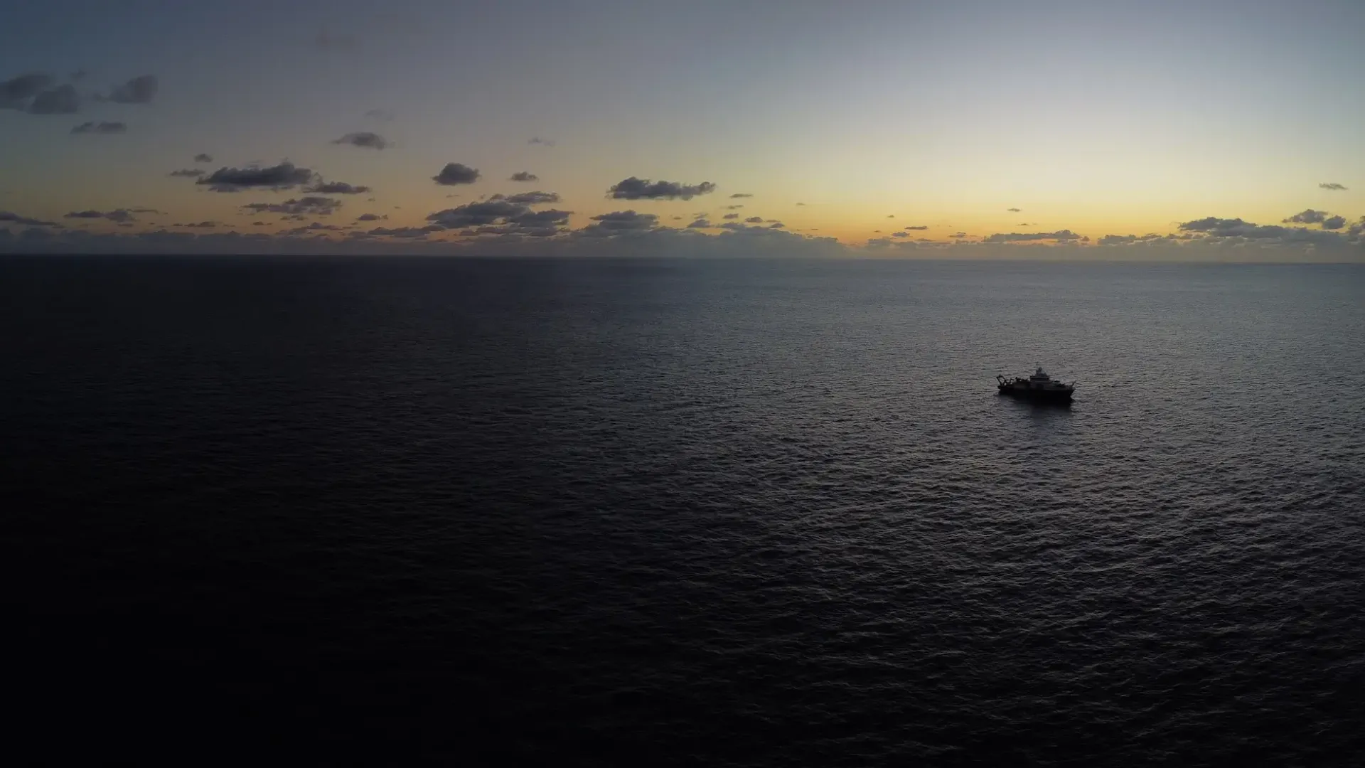
Evaluating the Long-Term Impacts of Mining
JC241 travelled to the Clarion Clipperton Zone (CCZ) to understand the remaining impact of a realistic mining test on the benthic environment and its fauna after 44 years.
The Seabed Mining and Resilience To EXperimental Impact (SMARTEX) project researches the baseline environment in regions of the CCZ selected for mineral exploration. It aimed to provide critical scientific understanding and evidence to reduce the risks of future industrial development on the marine ecosystem within this region.
Expedition Diary
| Ship | Duration | Departed | Returned | General Location | Chief Scientist |
| RRS James Cook | 4/2/23 - 26/3/23 (50 days) | Caldera, Costa Rica | Caldera, Costa Rica | North East Pacific Ocean | Professor Daniel Jones |
This cruise was part of the Seabed Mining And Resilience To EXperimental impact (SMARTEX) project funded by the UK Natural Environment Research Council (NERC).
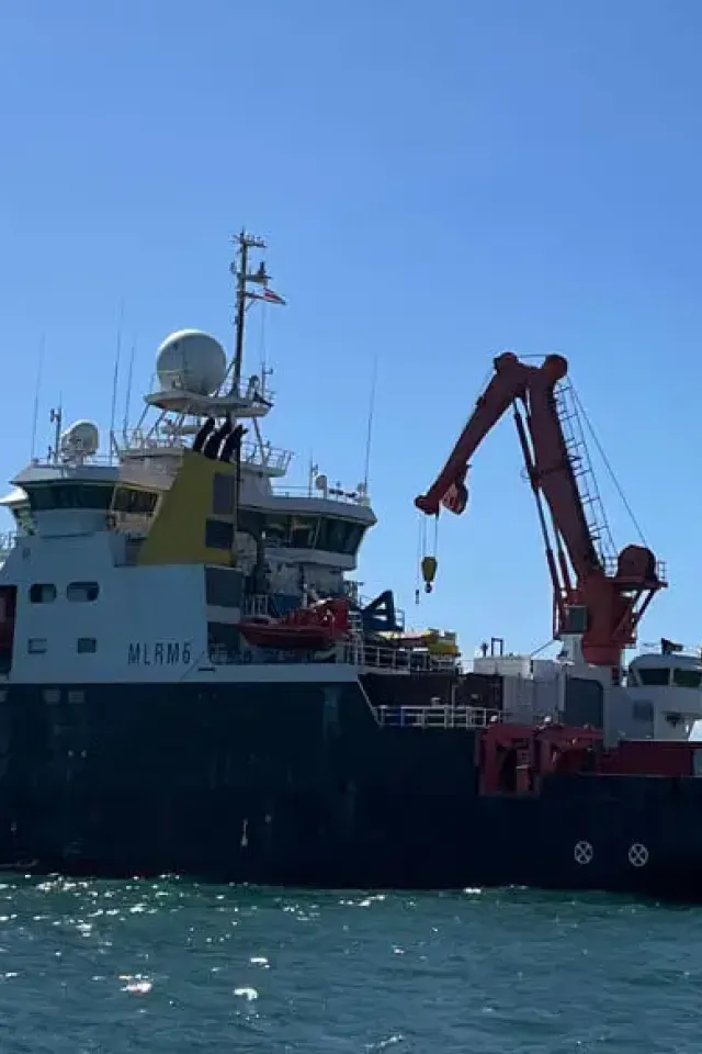
This was the second UK cruise to the Clarion Clipperton Zone (CCZ) in the northern equatorial Pacific, an area likely to be targeted for deep-sea mining for polymetallic nodules. The first (JC120) was carried out in 2015. This was the first cruise for the SMARTEX project (of two planned).
- Understand the remaining impact of a realistic mining test on the benthic environment and its fauna after 44 years.
- Assess natural temporal change in macrofaunal communities between 1989 and 2023 (at PRA site).
- Provide the first characterisation of megafaunal species and communities present at APEI-13 (linked outreach and policy interaction aim).
- Characterise the environment and ecology of the UK-1 area in advance of a planned nodule collector test.

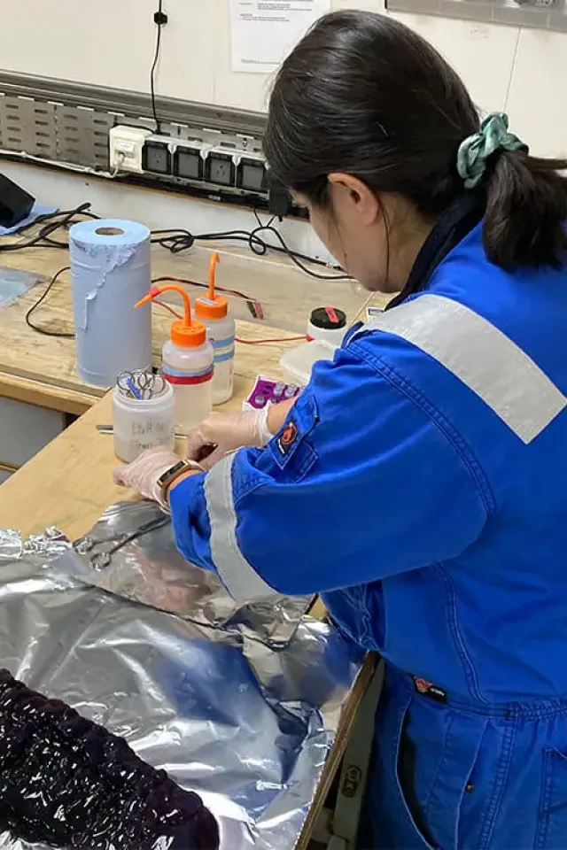
What Equipment Was Deployed?
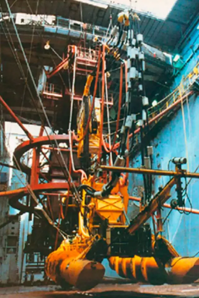
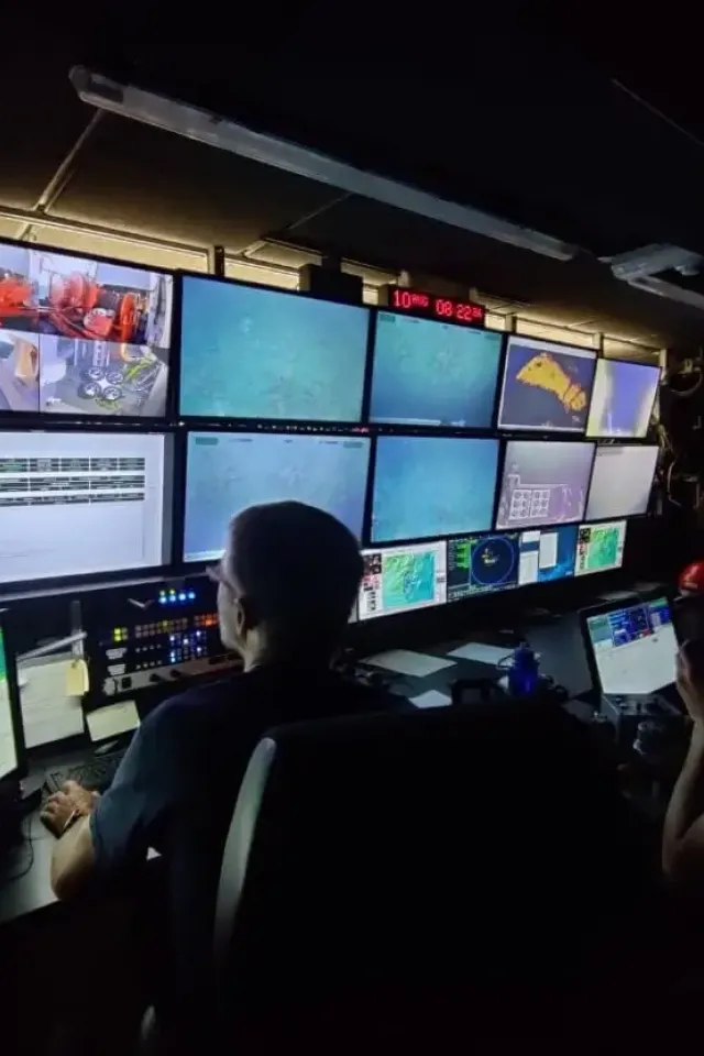
The main purpose of the use of the ROV on this expedition was to carry out a biodiversity assessment by collecting specimens and photography (still and video) in the marine environment.
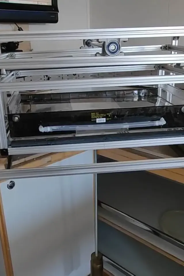
Learn MoreDeployed 6 times in total, the CTD was used in a number of different ways, including providing a sound speed profile for the acoustic work and to collecting water for eDNA and nutrient analysis.
Three moorings were deployed at UK-1 to the south of Area of interest 2 (AOI-2). The design is an L-shape with the long mooring at the angle and two perpendicular directions to the two shorter moorings. Each leg of the L is 6 km, one along a bathymetric trough, and the perpendicular leg to the summit of a ridge. The idea is to allow us to compare the spectral properties of the flow from ridge to trough versus along a trough.
Learn MoreWhere Did JC241 Take Place?
RRS James Cook travelled to an area of the east coast of North America to a much-debated area of the ocean that has historically been a hotspot for deep-sea mining and mineral extraction.
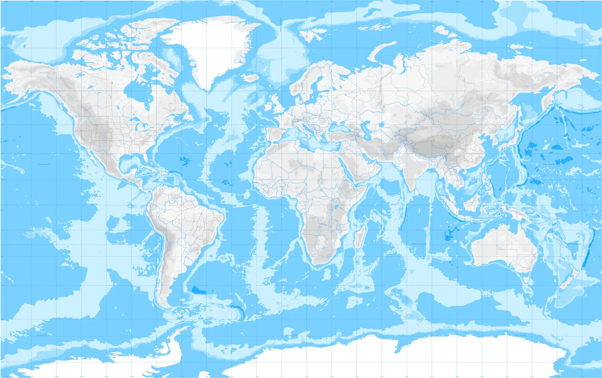
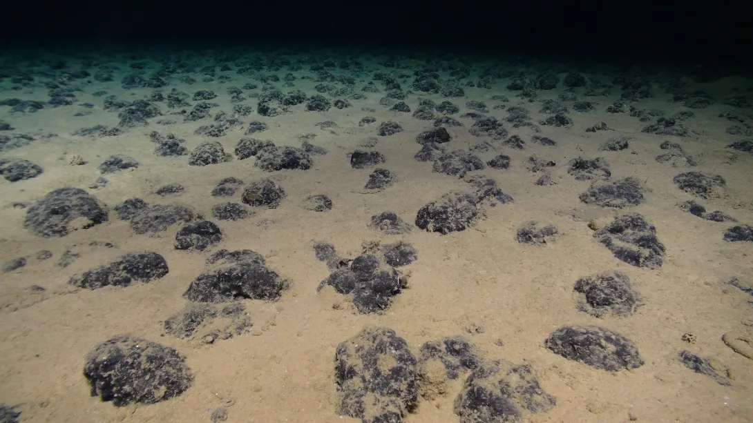
Within an area of over 6 million square km, around 25 times the area of the UK, called the Clarion Clipperton Zone (CCZ) in the central Pacific Ocean, at abyssal depths of almost 5,000 metres, lies a vast mineral resource of polymetallic nodules.
Within an area of over 6 million square km, around 25 times the area of the UK, called the Clarion Clipperton Zone (CCZ) in the central Pacific Ocean, at abyssal depths of almost 5,000 metres, lies a vast mineral resource of polymetallic nodules.
Expedition Gallery
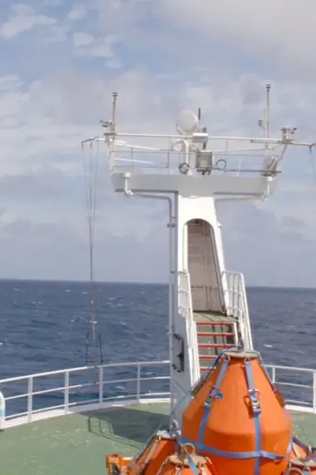
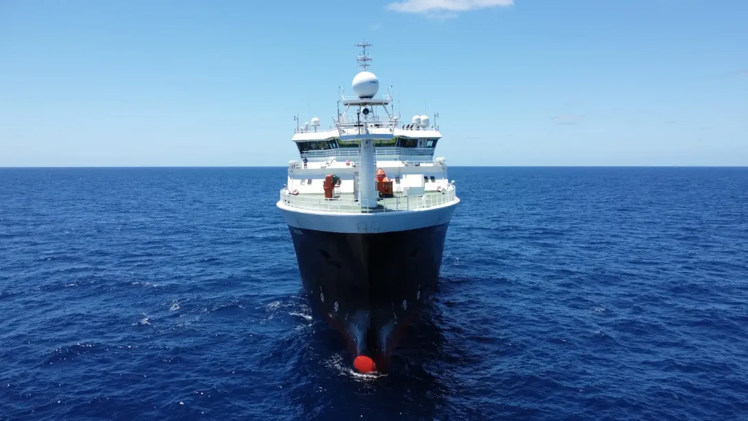
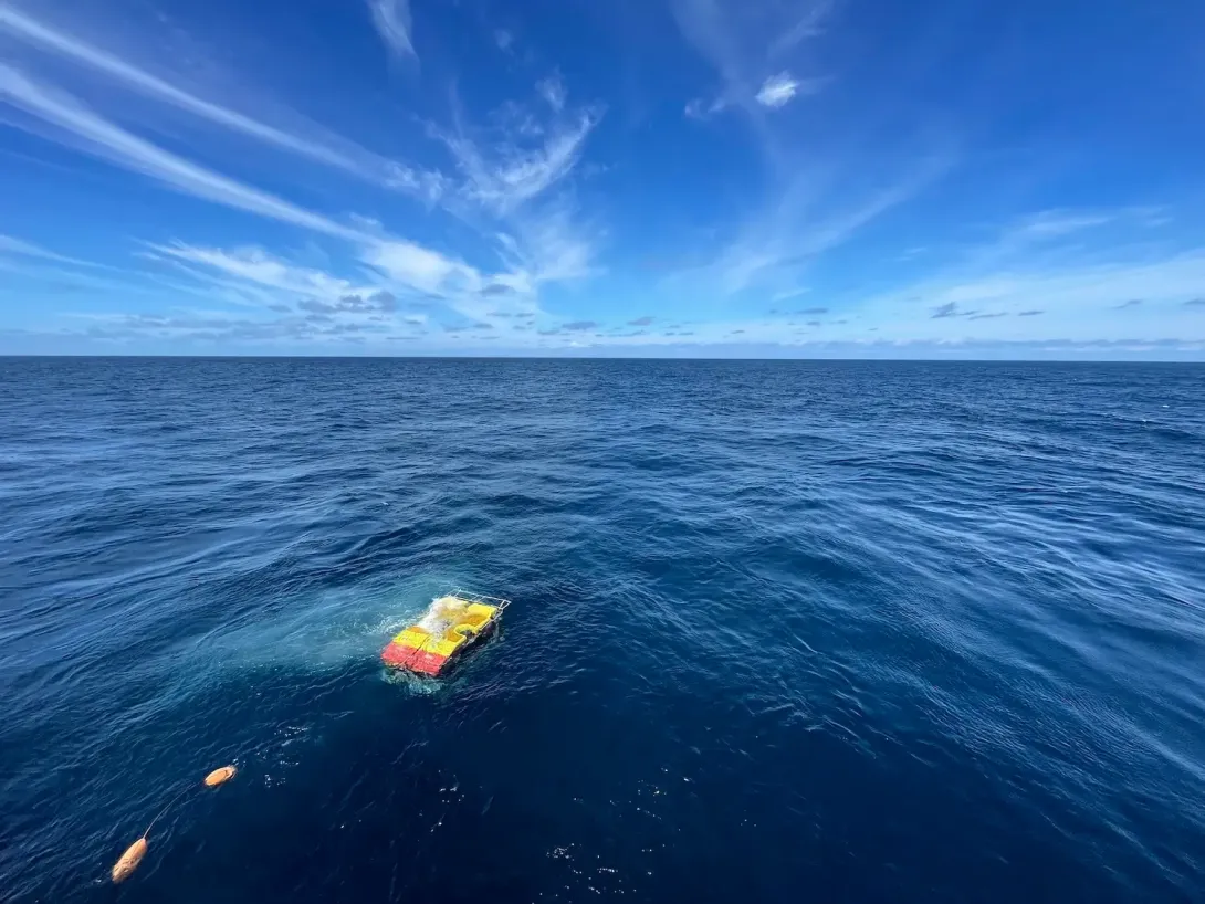
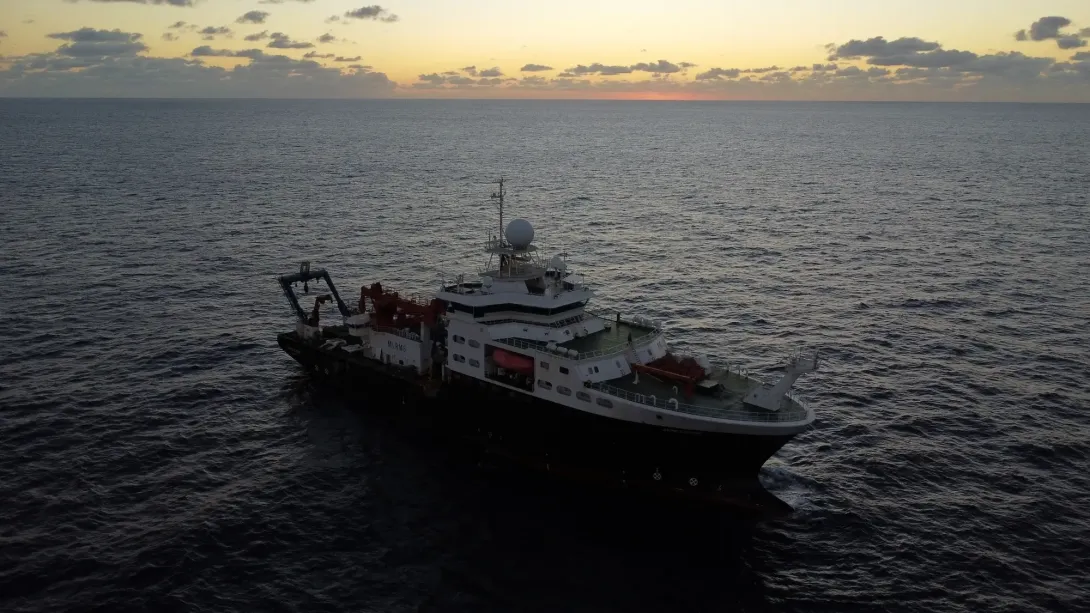
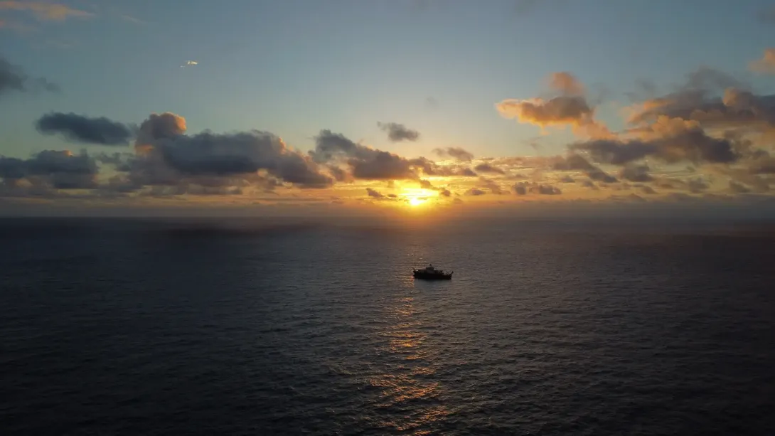
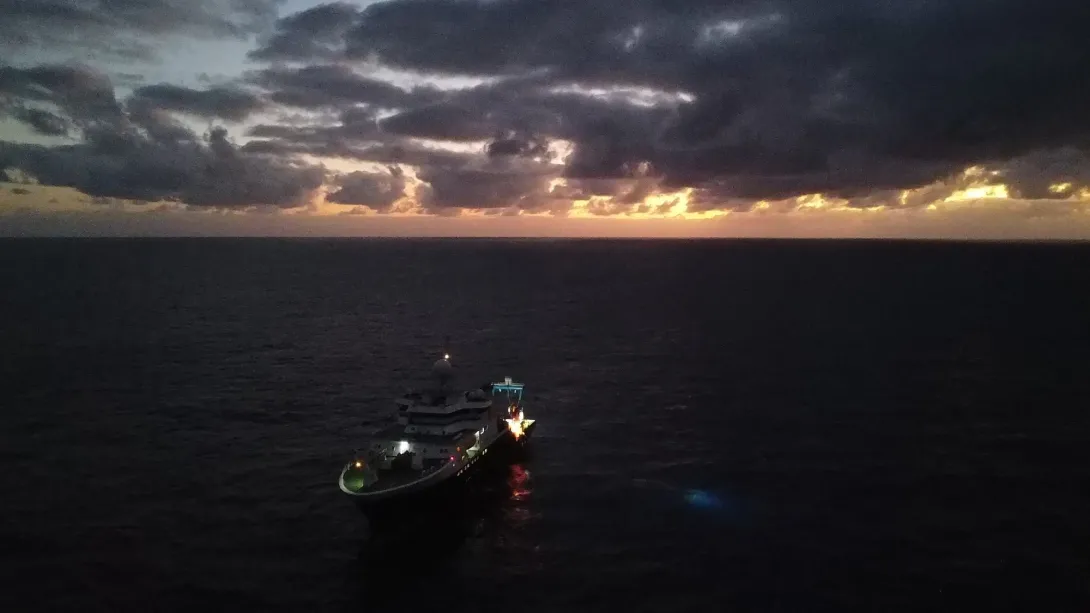
Photos of the expedition, including the deployment of equipment as well as RRS James Cook, were taken via an onboard drone controlled by crew. Photos are courtesy of the SMARTEX project.
Biodiversity Gallery
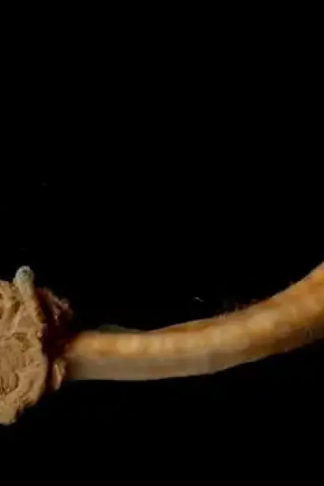
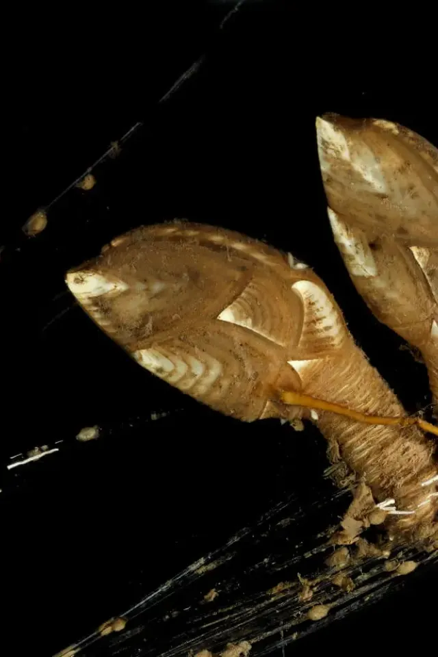
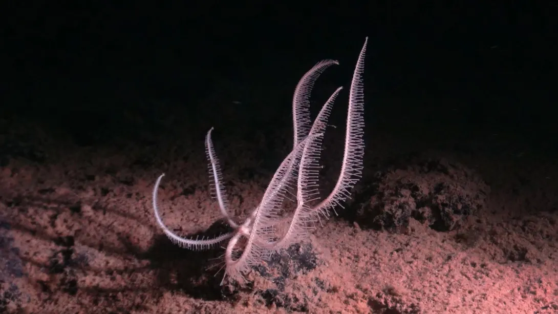
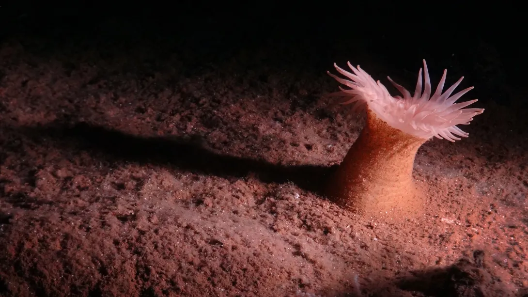
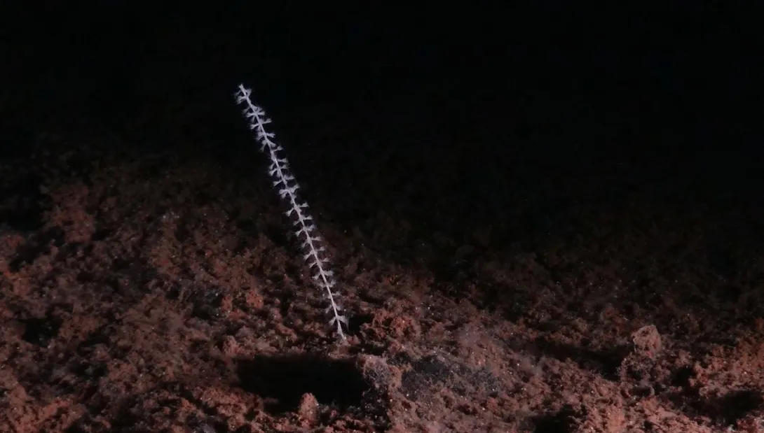
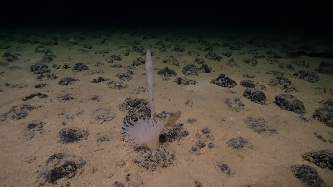
Through the deployment of the Remotely Operated Vehicle (ROV), hundreds of images were taken and footage was captured of the diverse range of biodiversity flourishing in the CCZ. Photos are courtesy of the SMARTEX project.
Dive Deeper: Access the Cruise Report
Via the British Oceanographic Data Centre (BODC), a full cruise report for expeditions are available. This includes information on locations, objectives as well as the data collected.