

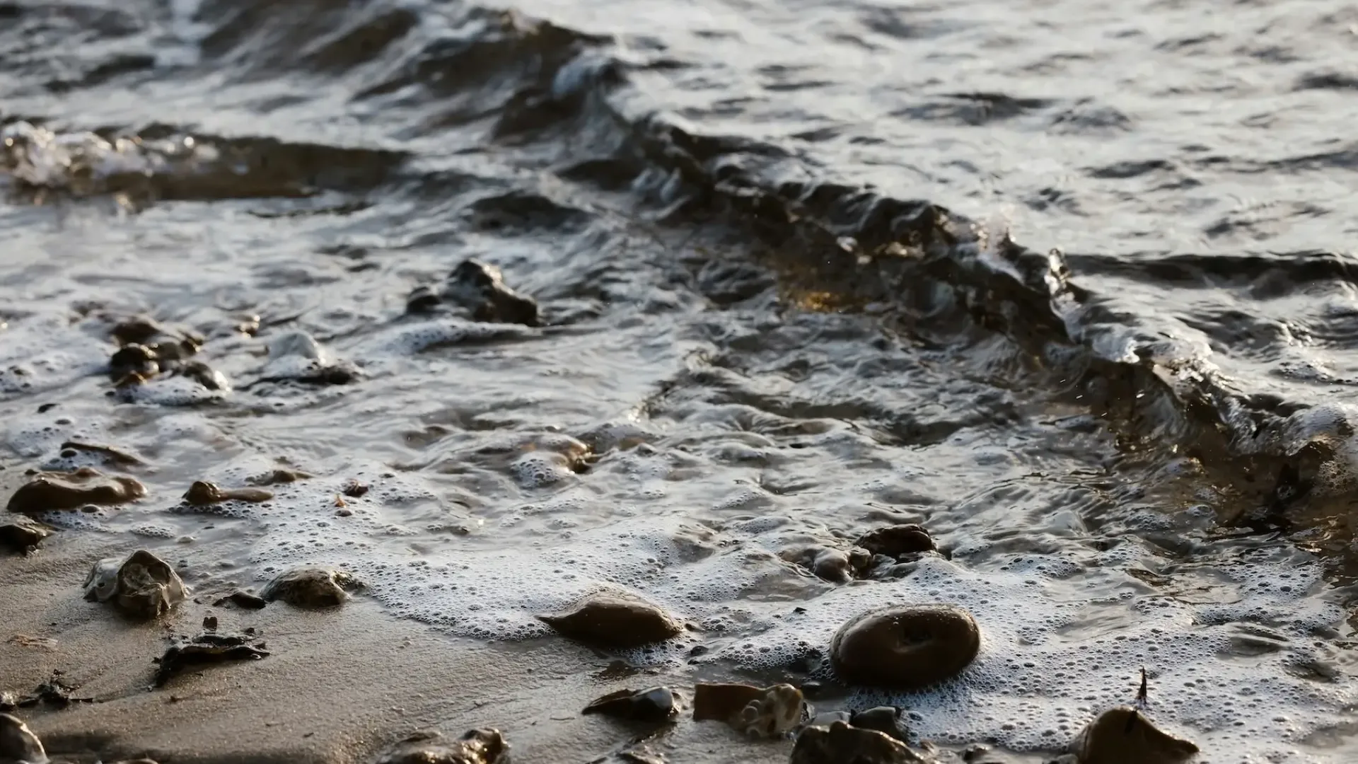
What is a Tide?
A tide is the regular and predictable movement of water caused by astronomical phenomena - the way the Earth, Moon and Sun move in relation to each other and the effect of gravity. This leads to the rising and falling of the sea that you can see in tide tables.
While from the coast we experience the tide as the sea rising and falling at a harbour, or approaching and retreating from a beach, the tides are very slow-moving waves that travel along coastlines. In the North Atlantic, the tide sweeps round anti-clockwise between Europe and North America twice a day.
What Causes Tides?
Tides are caused by the gravitational pull of the Moon and the Sun on Earth's oceans, combined with the orbits of those bodies and our planet's rotation. The Moon is the main driver, with roughly twice the influence of the Sun despite being much smaller. This is because it's so much closer to us.
These forces work in opposition. The Moon's gravity pulls everything on Earth towards it, with the force being stronger on the side nearest the Moon. But the Earth and Moon rotate together (once a lunar month) around a shared centre of mass, and this pushes everything on Earth away from the Moon. The combination of these forces pulls water towards the Moon on one side of the Earth, and pushes it away the other side.
However, these forces are constantly changing as the Earth turns each day. The speed at which water can move at any location is limited by the depth of the ocean there, meaning that water cannot move quickly enough to keep up with the changing forces.
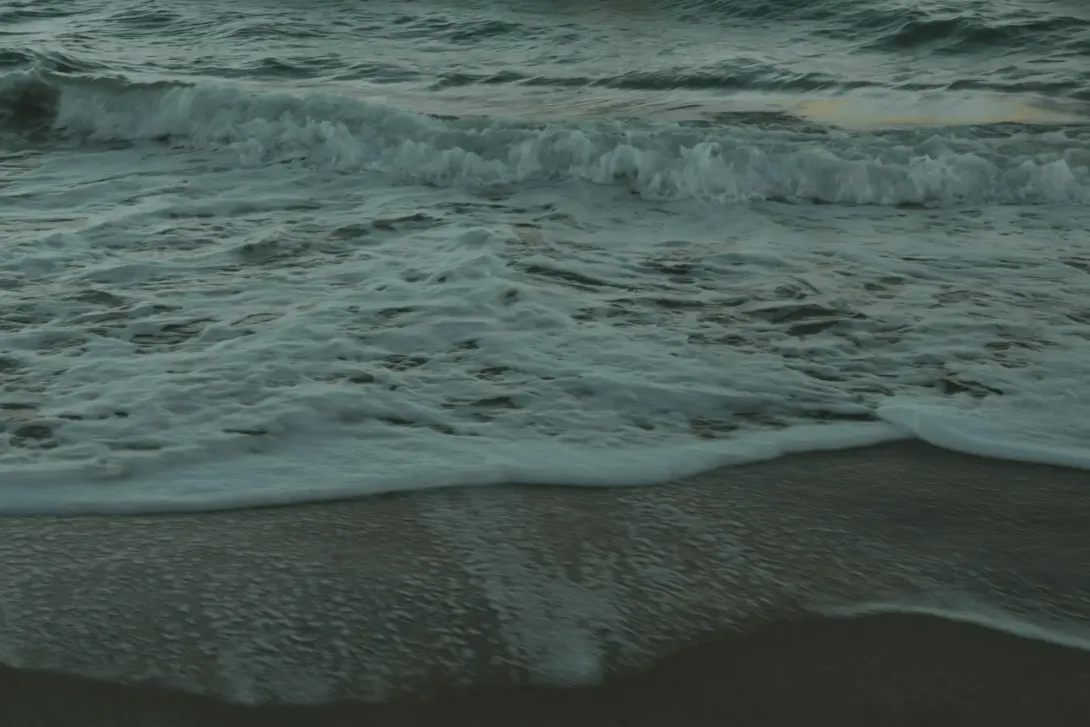
What is an Incoming Tide Called?
An incoming tide is called a flood tide. During a flood tide, water moves towards the shore, raising sea levels from low tide to high tide.
An outgoing tide is called an ebb tide, when water flows away from the shore. The moments between these, when the water seems to pause before changing direction, are called slack water or slack tide.
Where Does the Water Go When the Tide Goes Out?
The water doesn't disappear. As the tide ebbs at one location, that water simply moves across the ocean to wherever high tide is happening. The bulges created by the Moon and the Sun constantly shift around Earth as our planet rotates, and the water follows.
In shallow coastal waters and estuaries, large areas of seabed become exposed during low tide as the tide “goes out”, and water moves to other parts of the ocean.
How Often Do High Tides Occur?
In most locations, high tides occur roughly every 12 hours and 25 minutes. This timing relates to the lunar day, which is how long it takes for a specific spot on Earth to rotate back to the same position relative to the Moon.
The extra 25 minutes accounts for the Moon's own movement. While Earth completes one spin, the Moon has moved a little further along in its orbit. Earth needs to rotate that bit extra to catch up.
Are There Always Two Tides a Day?
No. Whilst most places experience two high tides and two low tides daily, patterns vary. Some places experience only one high and one low tide per day, whilst others experience more unusual patterns.
Experiences one high tide and one low tide each day.
Some areas experience one high tide and one low tide each day.
NOAA notes that it is common to experience a mix of one or two tides a day along the Pacific coast of North America.
Southampton experiences what's called double-high water, whilst Portland has double-low water. These quirks happen when tides interact with complex coastal features. Liverpool experiences two high and two low tides a day, with a height range of up to about 10 metres.
Tides in the Mediterranean are very small, typically varying by less than 1 metre a day.
Experiences one high tide and one low tide each day.
Some areas experience one high tide and one low tide each day.
NOAA notes that it is common to experience a mix of one or two tides a day along the Pacific coast of North America.
Southampton experiences what's called double-high water, whilst Portland has double-low water. These quirks happen when tides interact with complex coastal features. Liverpool experiences two high and two low tides a day, with a height range of up to about 10 metres.
Tides in the Mediterranean are very small, typically varying by less than 1 metre a day.
How Much Does Sea Level Rise Affect Tides?
As global sea levels rise due to warming oceans and melting ice, tidal flooding patterns are changing. According to the Intergovernmental Panel on Climate Change, global sea level rose around 20 cm between 1901 and 2018. Sea-level rise is accelerating and is expected to rise by at least 60 centimetres in the 21st century. [Citation Palmer et al 2026].
As the baseline sea level rises, the same tides reach higher up the shore. Areas that previously flooded only during extreme events may start flooding during ordinary high tides. What were once extreme events can become routine.
Recent research from the National Oceanography Centre shows that UK sea level is rising faster than the global average, with two-thirds of the observed sea level rise since the 1900s happening in just the last three decades. This accelerating rise is increasing both the frequency and magnitude of extreme water levels around the UK coastline, meaning higher tides and extreme still water levels will become more common and raising the baseline for coastal flood risk.
Rising seas can also change tidal ranges in some locations by altering water depths and allowing tides to push further inland up rivers and estuaries.
Do the Tides Follow a Repeated Pattern?
Tides follow predictable patterns, but they never repeat exactly. This is because the Moon and the Sun are constantly shifting their positions relative to Earth. Lunar months don't divide neatly into calendar years, and the Moon's orbit itself wobbles over time. Every 18.6 years, for instance, we experience larger than average tides due to a pattern called the lunar nodal cycle.
While the underlying physics means tides could theoretically repeat over extremely long periods, by then Earth's own orbital characteristics would have changed. So in practical terms, each tidal cycle is unique.
If you check tide times regularly, you'll notice they shift by roughly 50 minutes each day. This happens because the Moon orbits Earth, moving a little further along each day. After Earth completes one full spin, it needs to rotate a bit more (about 50 minutes' worth) to catch up with where the Moon has moved to.
How Far Ahead Can the Tide Be Predicted?
Although tides never repeat exactly, scientists can still predict them with remarkable accuracy many years in advance. This is because the movements of the Moon and the Sun follow well-understood orbital mechanics. The National Oceanography Centre produces tide tables extending years into the future, or into the past, using these calculations.
However, actual sea levels can differ from predictions due to weather conditions such as air pressure, wind and storm surges. The Met Office models these factors, while the Environment Agency monitors coastal conditions and issues flood warnings when needed.
So Are Tides a 'Solved Problem'?
The actual physics of tides and surges has been well understood for decades, there haven't been many changes in the physics. But the weather changes, the coast evolves, sand moves, and sea-level rises. These all impact on tidal prediction. So, we need to make good quality measurements of tides in the changing conditions to constantly update our information and make accurate predictions.
What are the Different Types of Tides?
Spring tides have nothing to do with the season. They occur just after Earth, the Moon and the Sun line up during new moon and full moon phases, roughly every two weeks. When this happens, the gravitational pulls of the Moon and the Sun work together, creating the highest high tides and lowest low tides of the lunar cycle.
Spring tides can be particularly dramatic in areas with naturally large tidal ranges, causing coastal flooding and stronger currents in harbours, estuaries and rivers.
Neap tides are the opposite of spring tides. They occur just after the Moon and the Sun are at right angles to each other, during the first and third quarter moon phases. Their combined effects produce smaller tidal ranges with more moderate highs and lows.
The cycle between spring tides and neap tides repeats roughly every two weeks, following the phases of the Moon.
A king tide is an informal term used in North America and Australia for an exceptionally high spring tide that can cause coastal flooding even in good weather. It occurs when several factors line up at once: the Moon is at its closest point to Earth, Earth is at its closest to the Sun, and we have either a new or full moon. The combined effect is the creation of an unusually large tide.
King tides typically occur once or twice a year and can cause coastal flooding in low-lying areas. They also offer communities a useful preview of what regular high tides might look like as sea levels continue to rise.
An equinoctial spring tide is one that occurs near an equinox (in September or March). At the solstices (June and December) the hemisphere of the Earth that is in summer tilts towards the sun. At the equinox, neither hemisphere tilts towards the sun and both hemispheres experience similar forces to each other. That enhances the semi-diurnal (twice daily) tides that are dominant in the UK, making these some of the largest in the year.
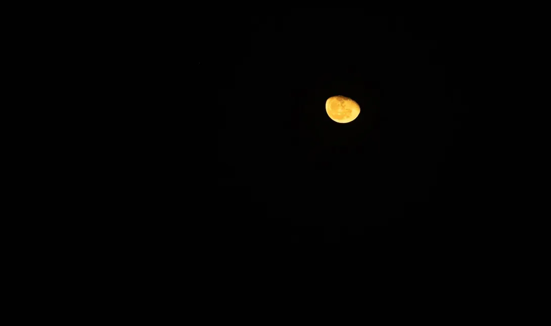
Why are Tides Stronger During a Full Moon and New Moon?
During these phases, Earth, the Moon and the Sun are aligned. Their gravitational forces work together rather than against each other, creating the larger tides we call spring tides.
During a new moon, the Moon sits between Earth and the Sun, so their gravitational pulls act in the same direction. During a full moon, Earth sits between the Moon and the Sun, but their forces still reinforce each other. Either way, the result is higher high tides, lower low tides and stronger currents.
Why Are the Tides Not the Same All Around the Coast?
Coastal geography creates complex tidal patterns. Land gets in the way of moving water, and coastline shape and bathymetry create delays. Bathymetry refers to the underwater equivalent of hills and valleys: the varying depths and contours of the seabed.
Just as landscape shapes how water flows across land, the underwater terrain influences how tides move through our oceans. Every stretch of coast has unique features, producing unique tidal patterns.
When tides move from deep ocean onto shallower coastal shelves, they slow down and their height increases. Some locations experience dramatic amplification because of a phenomenon called resonance, where the natural rhythm of a bay or inlet happens to match the tidal rhythm.
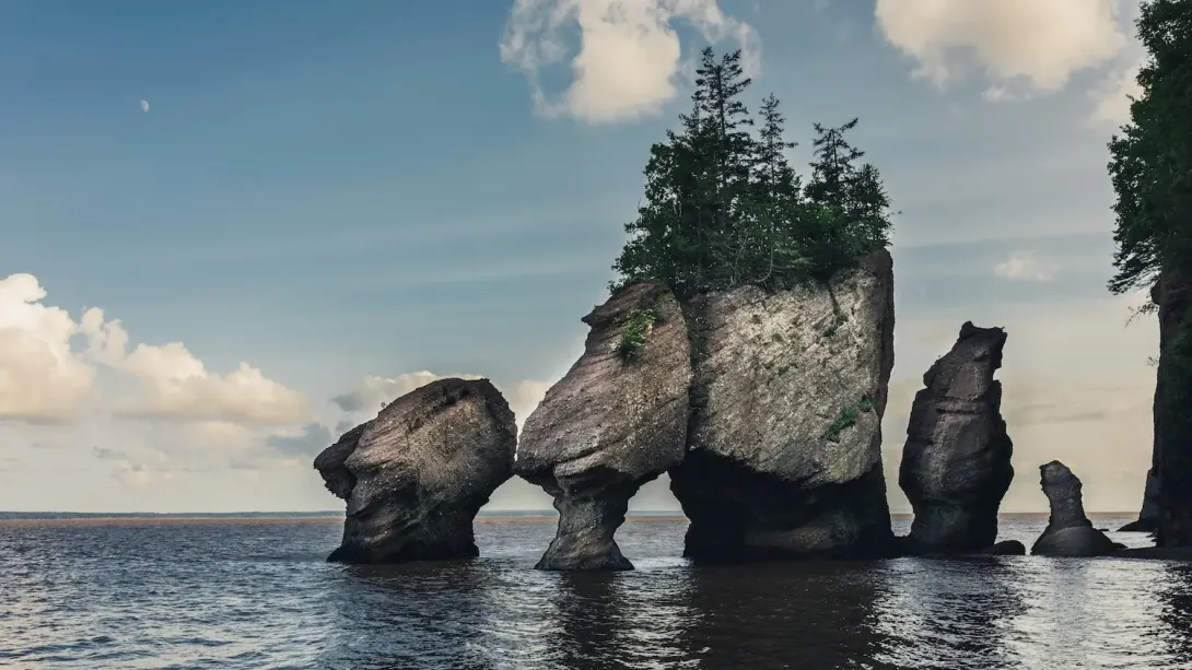
The Bay of Fundy in Canada provides the most spectacular example, boasting the world's highest tides. The bay's funnel shape and length happen to match the Atlantic tidal cycle almost perfectly, creating tidal ranges of up to 16 metres. That's roughly the height of a five-storey building.
The "Coriolis effect" from Earth's rotation also influences tidal currents. This effect is a consequence of living on a spinning planet: as water moves across Earth's surface, it curves rather than travelling in a straight line. In the northern hemisphere, moving water curves to the right; in the southern hemisphere, it curves to the left. This helps create the complex, swirling tidal patterns we observe in our oceans.
Why Do Lakes Not Have Noticeable Tides?
The forces that create tidal bulges need a large body of water to produce visible effects. In the vast oceans, the difference in gravitational pull across the water is significant. In smaller bodies like lakes, this difference is too small to notice.
The Great Lakes of North America do technically have tides, but they measure only a few centimetres. Another factor is that for tides to build up, a water body's natural rhythm must match the tidal rhythm of about 12 hours. Most lakes have much shorter natural rhythms, so tides can't gain momentum.
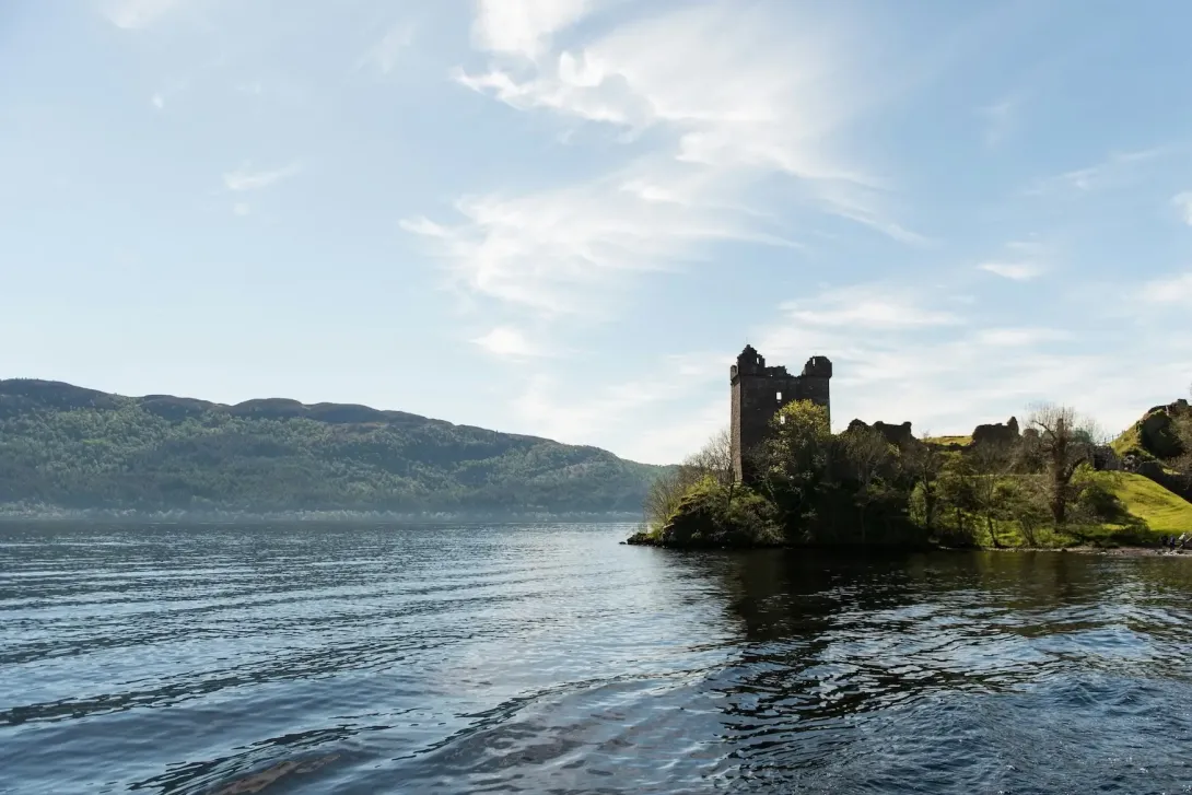
NOC's Research on Loch Ness
Interestingly, NOC research on Loch Ness revealed that even landlocked bodies of water can experience tiny tidal signals, and not just from gravitational pull on the water itself. As the ocean tide travels up the west coast of Scotland and back down the east coast, the land itself tilts very slightly under the weight of the moving water. This subtle tilting can cause measurable changes in lake levels, demonstrating the far-reaching influence of ocean tides.
How Do Tides Affect Rivers?
Tides can significantly affect estuaries and rivers, sometimes pushing their influence many kilometres inland. During flood tide, seawater moves upstream, raising water levels and sometimes reversing the river's flow entirely. During ebb tide, the river flow combines with the outgoing tide, creating strong seaward currents.
Some rivers experience a remarkable phenomenon called a tidal bore, where the incoming tide forms a wave that travels upstream. The Severn Bore in the UK is famous for this, attracting surfers who ride the wave for miles. The Pororoca on the Amazon River is another dramatic example. Research published in the Journal of Fluid Mechanics has extensively documented the complex hydraulics of these fascinating phenomena.
Tidal influence also creates zones of brackish water (a mix of fresh and salt water) that support unique wildlife communities.
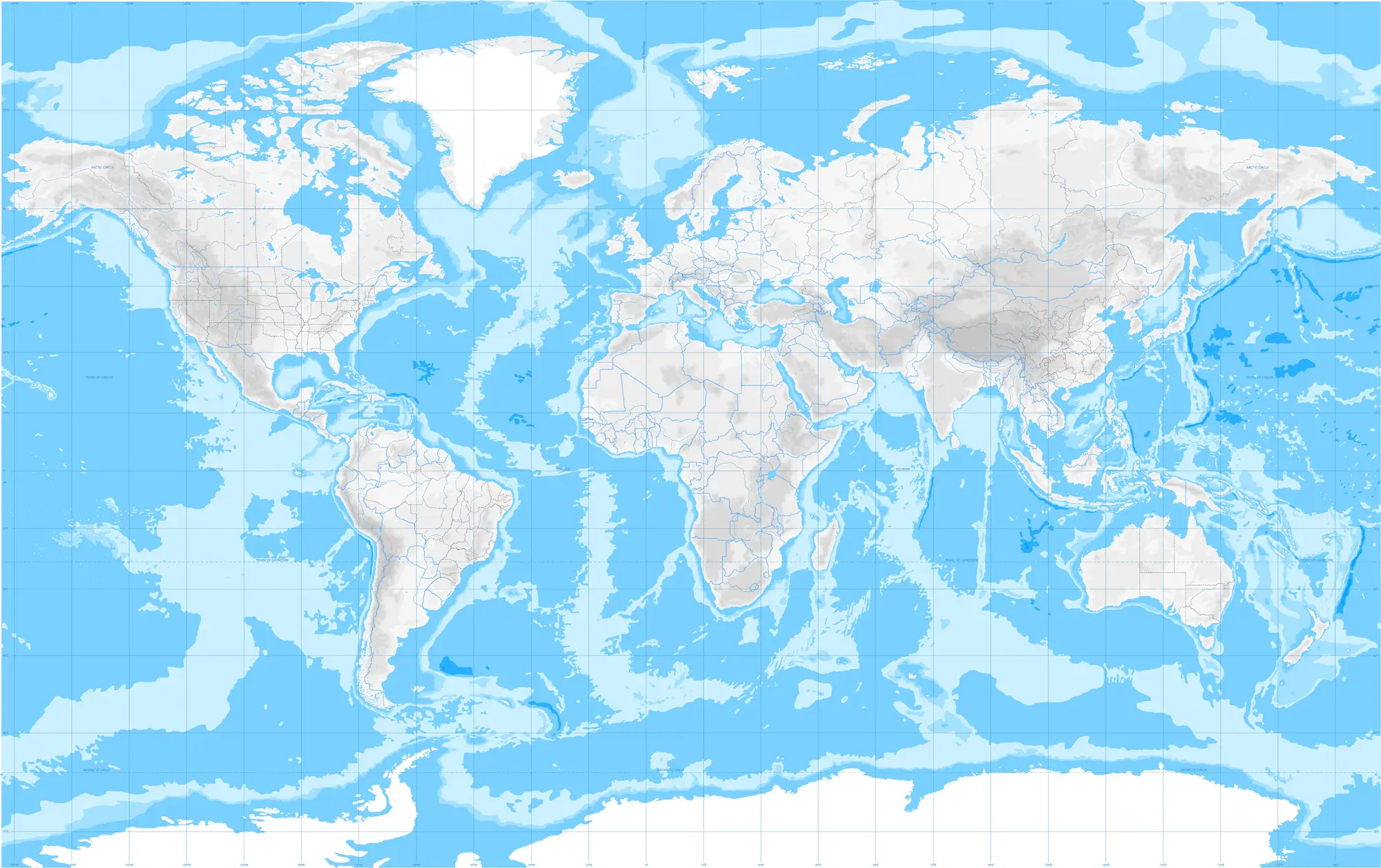
Where are the World's Highest Tides?
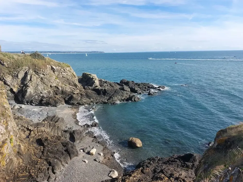
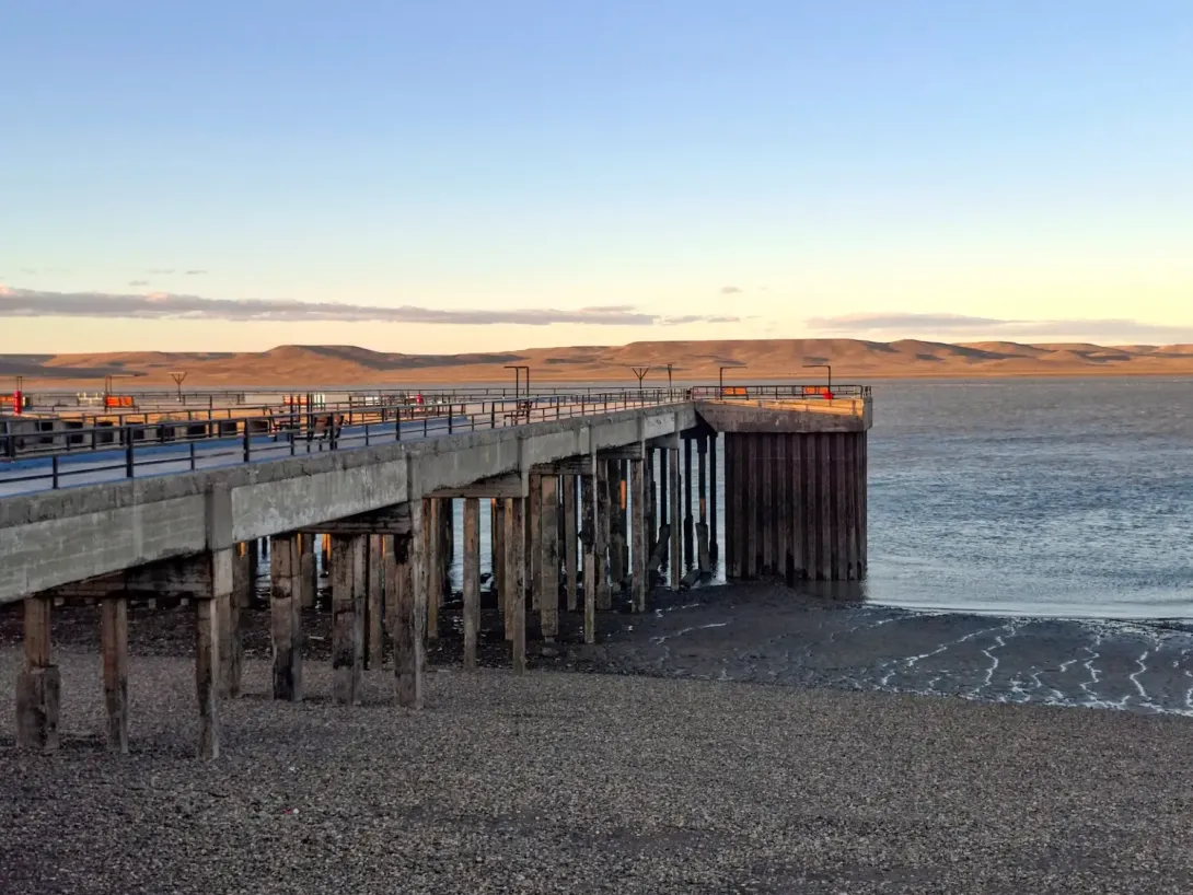
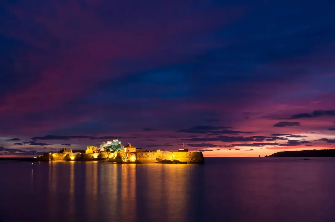
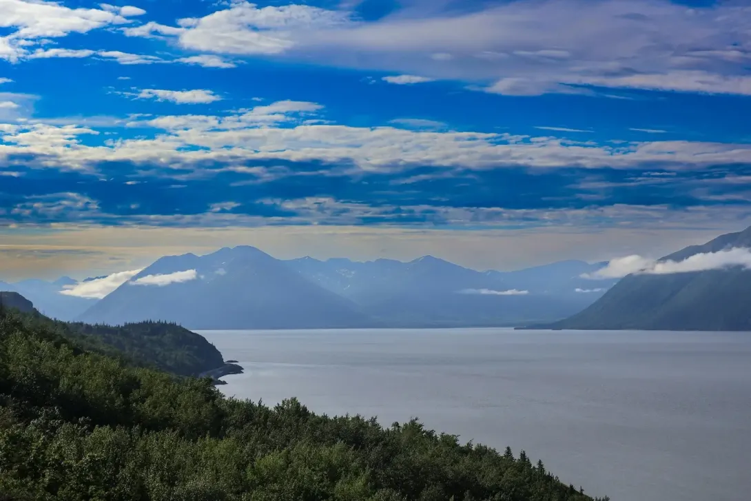
These high tides from around the world are mean spring tides, which are the average of all spring (fortnightly large) tides across several years of recording.
Are the Tides the Same in Both Hemispheres?
Tides work the same way in the northern and southern hemispheres. The gravitational pull of the Moon and the Sun affects both equally. However, specific tidal patterns depend on local coastal geography and underwater terrain rather than which hemisphere you're in.
Do the Planets Affect our Tides?
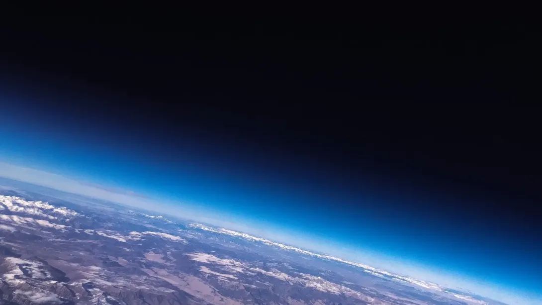
Planets have virtually no effect on our tides. Whilst all objects in space exert some gravitational pull, what matters for tides is both mass and distance. The Moon and the Sun, our primary tide-makers, aren't actually planets: the Moon is Earth's natural satellite, whilst the Sun is a star.
The Moon, despite being relatively small, is close enough to dominate our tides. The Sun is massive but far enough away that its tidal effect is only about half that of the Moon.
Other planets are simply too distant to matter. Venus, for example, produces a tidal effect of just 0.0054 per cent that of the Moon, corresponding to less than a tenth of a millimetre at most locations. Jupiter, despite being the solar system's most massive planet, is simply too far away to exert any meaningful influence on Earth's tides.
Claims that planetary alignments cause unusual tides have no scientific basis.
How Do Tides Affect Marine Life?
Tides shape life along our coastlines in remarkable ways.
The intertidal zone, that strip of shore between high and low tide marks, is one of the most dynamic habitats on Earth. Creatures living here must cope with being submerged in seawater one moment and exposed to air, sun and predators the next. Species such as barnacles, mussels and seaweeds have evolved remarkable ways to thrive in these ever-changing conditions.
Beyond the intertidal zone, tides influence marine life in several important ways:
- Feeding patterns: Many marine animals time their activities to the tidal cycle, feeding most actively when prey becomes accessible or currents bring food their way.
- Reproduction: Some species synchronise their breeding with particular moon phases and spring tides, releasing eggs or larvae when conditions give their offspring the best chance of survival.
- Nutrient transport: Tidal currents act as a delivery system, carrying nutrients and food throughout coastal waters and boosting the productivity of these vital habitats.
According to NOAA, understanding tidal influences is essential for effective marine conservation. The Marine Conservation Society emphasises that protecting intertidal habitats is crucial for maintaining biodiversity along UK coastlines.
How Do Tides Affect Human Activities?
Navigation and shipping are shaped by tides. Tide prediction tables are essential for safe harbour entry, as many ports can only accommodate large vessels during high tide. Ships plan movements to take advantage of tidal currents, saving fuel and time.
Fishing industries worldwide schedule operations around tidal patterns. Many fish species move with tidal currents to feed, and traditional fishing communities have passed down knowledge of optimal fishing times related to the tidal cycle and moon phases.
Coastal development must account for tidal ranges. Infrastructure such as seawalls, docks and coastal roads must withstand the highest spring tides and king tides. As sea level rise accelerates, areas previously safe from tidal flooding become vulnerable. The Environment Agency works closely with coastal communities to assess flood risk and develop adaptation strategies for rising sea levels combined with high tides.
Tidal energy represents a promising renewable resource. The predictable nature of tidal currents makes them more reliable than wind or solar power. Tidal stream generators in locations with strong tidal currents demonstrate the potential of harnessing ocean tides for electricity generation. The European Marine Energy Centre in Orkney, Scotland, is a world-leading test facility for tidal and wave energy devices, helping to advance this technology.
What is a Tidal Bore?
A tidal bore is a sudden, steep-fronted surge of water that travels upstream in a river or estuary when an incoming tide forces seawater into a narrowing, shallow channel. Instead of the tide rising gradually, it forms a moving "wall" or wave of water. One of the best-known UK tidal bores is on the river Severn. The Severn Bore can reach up to 2 metres high. It travels at around 10 to 15 mph and can even be surfed under the right conditions! It occurs because the Severn Estuary has one of the largest tidal ranges in the world.
What is a Tidal Wave?
Tidal wave refers to the movement of water associated with the regular tidal cycle. These aren't visible as individual waves in the open ocean but manifest as the gradual rise and fall in sea level that we recognise as tides. The tidal wave is not a tsunami, but these two names are often confused in the media.
How Are Tides Measured?
 Taking the UK as an example, as tides approach the UK from the south-west, it splits into 3 branches, one west of Ireland, one up the Irish sea, and one into the English Channel. After the western branch reaches Scotland it causes another to sweep anticlockwise round the North Sea, so the tide arrives several hours later in East Anglia than in Edinburgh.
This means that despite the underlying gravitational drivers of the tide being similar, times and heights of tides can be completely different along different parts of the UK: usually when the tide is high in Cornwall, it's low in Liverpool, although they're only a few hundred miles distant.
Tides and other variations in the height of the sea are recorded using tide gauges – more properly called water level recorders as they can also be used in lakes and rivers. The technologies used have changed over the years, but can be separated into two categories.
Firstly, something can be placed in the water that measures the quantity of water above it. Most simply, this can be a simple tide staff which an observer can read off the sea surface height (much harder than it sounds in rough conditions). More modern approaches revolve around placing a sensor on the sea bed which measures the pressure exerted by the column of water above it, which can be converted into a height.
The second approach is to measure the distance down to the water from a spot on land. For many years the standard technique was the float gauge, where the height of an object floating on the surface of the water was monitored by connecting it to a pen on a rotating chart by means of a wire. More modern approaches rely on radar or acoustic sensors which measure the time taken to bounce a pulse off the water, and convert that to a height.
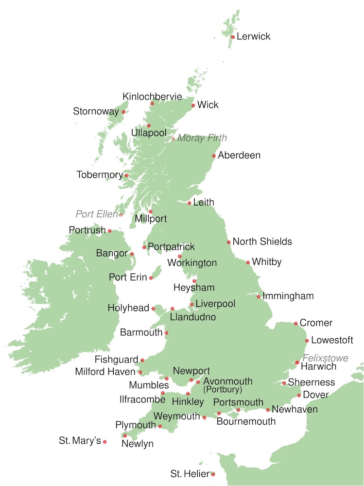
Image: UK Tide Gauge Network (please note: Port Ellen tide gauge decomissioned December 2018, Moray Firth tide gauge decomissioned August 2017, Harwich tide gauge superseded Felixstowe January 2016, Portbury (south of River Avon) replaced Avonmouth in 2011).
What Impact Did the 1953 North Sea Storms Have on Tidal Measurement?
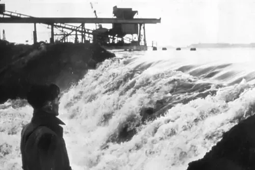
The UK national network of sea level gauges was established after violent storms in the North Sea in 1953 resulted in serious flooding. The network provides high quality sea level information to provide warning of possible flooding of coastal locations around the British Isles.
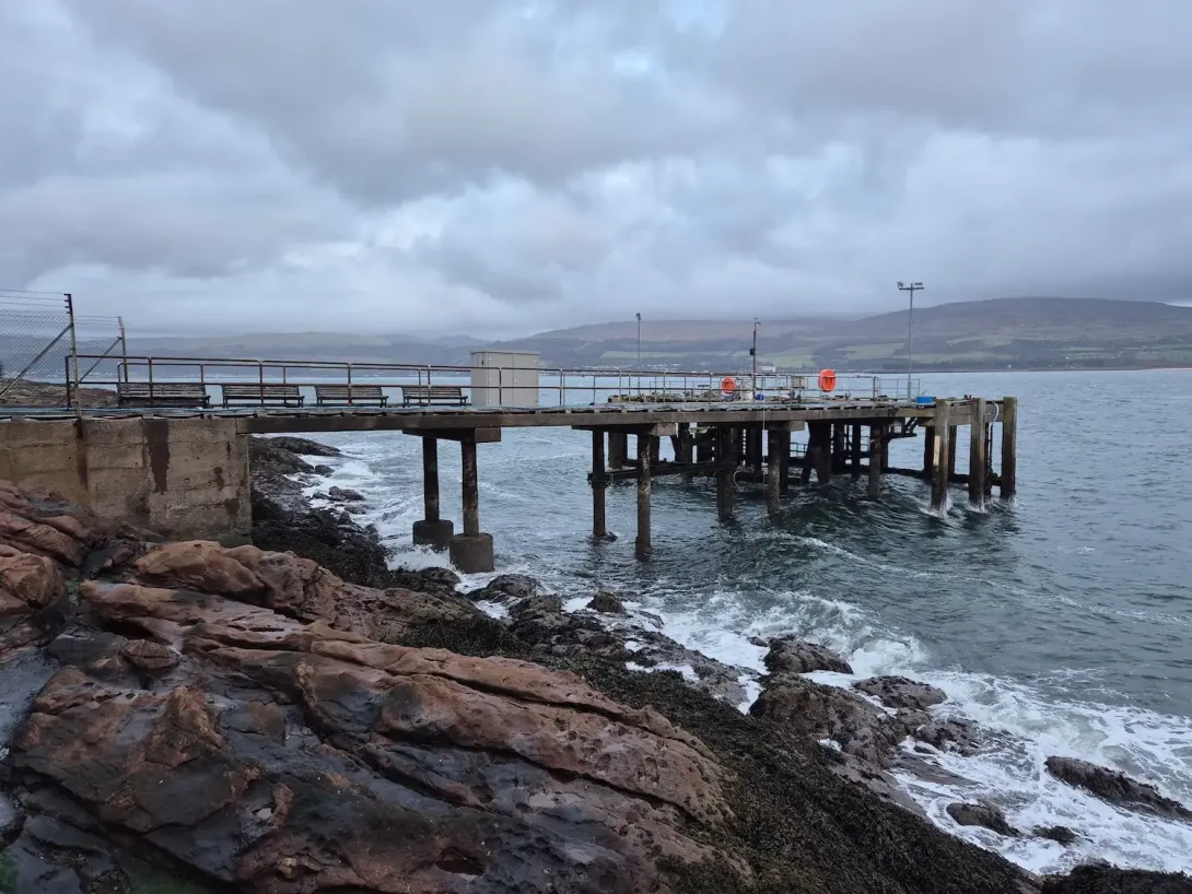
The UK National Tide Gauge Network
The UK National Tide Gauge Network records tidal elevations at 42 locations around the UK coast. These data are also required for research into coastal processes, storm surge behaviour and sea level rise. The network is owned and operated by the Environment Agency.
Find out about types of instruments, tide gauges and systems, and access real-time/near real-time data display by visiting the National Tidal and Sea Level Facility (NTSLF) website.



Dive Deeper: Coastal Resilience
Coastal resilience is essentially the ability of coastal communities, ecosystems, and infrastructure to withstand and recover from hazards like flooding, erosion, and extreme weather events. It matters because coastal areas are where the land meets the sea. These are dynamic, diverse ecosystems that serve as hubs for economic activity while facing mounting environmental pressures.