National Oceanography Centre (NOC) scientists have helped to reveal the first direct observations of underwater landslides, a major advance in understanding one of the ocean's most powerful and elusive natural processes.
The findings come from a new international study led by researchers from MBARI (Monterey Bay Aquarium Research Institute) and Durham University, published today in Science.
Underwater landslides have significant implications for marine ecology and infrastructure, yet these unpredictable events have remained challenging to study.
New research headed by Rebecca Englert, MBARI Research Specialist, and Matthieu Cartigny, Associate Professor at Durham University, with an international team of collaborators from 10 institutions including NOC, has provided the first direct observations of these events.
Until now, we have largely had to piece together how underwater landslides happen from the evidence they leave behind. Here, for the first time, we have actually watched fully submerged landslides unfold, giving us a remarkable new insight into how these hidden hazards work. This research sits right at the heart of NOC’s Hazards & Pollution mission. It shows how processes that begin close to our coasts can generate hazards to critical seabed infrastructure, while also transporting sediment, carbon and pollutants into the deep ocean. By directly observing these processes, we can better understand the connections between marine hazards and pollution and, ultimately, improve our ability to anticipate their impacts.
Dr Mike Clare, Strategic Research Lead for Hazards and Pollution at NOC and a co-author of the research
Directly observing underwater landslides provides crucial new evidence about how these poorly understood hazards initiate and evolve, helping move from interpreting their aftermath to understanding the processes while they happen.
This study builds on more than a decade of NOC research into underwater landslides, sediment avalanches called turbidity currents and their impacts.
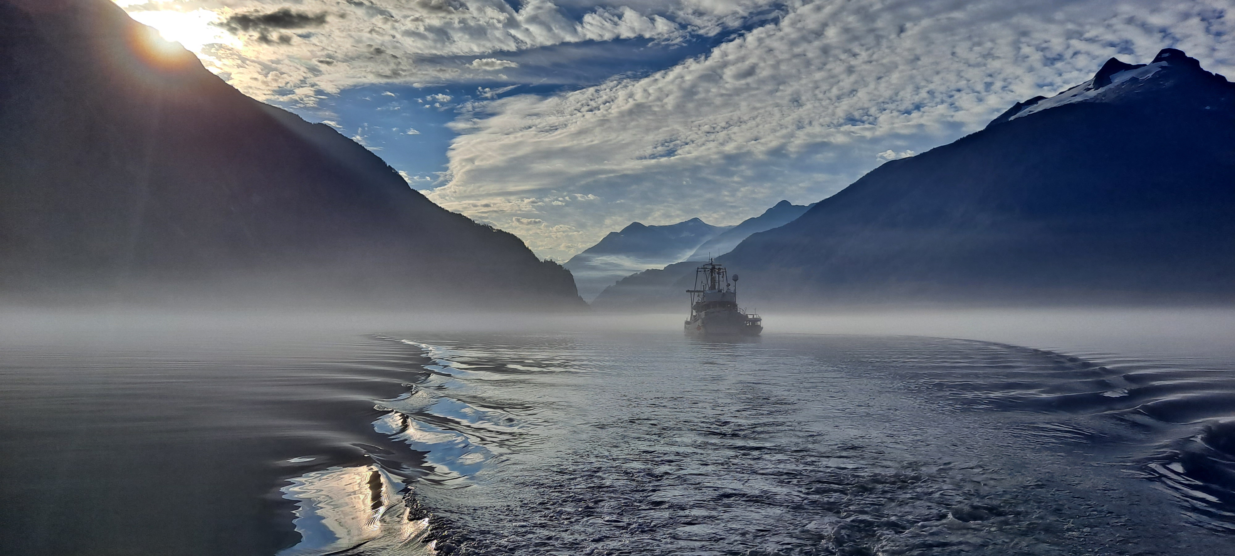
Using high-resolution monitoring sonars, repeated seafloor mapping surveys, and a seafloor mooring in Canada’s Homathko Delta, an international team of researchers has recorded the first direct observations of submarine landslides in action. Image courtesy of Rebecca Englert, MBARI
A rare glimpse into one of the ocean's most powerful processes
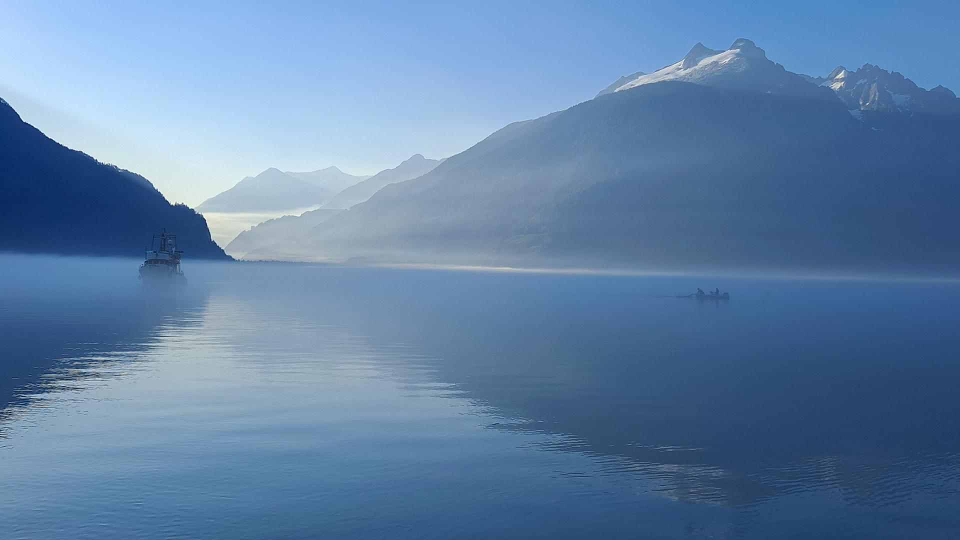
The Homathko Delta is located at the head of Bute Inlet in British Columbia, Canada. Offshore of the delta is a 50-kilometre (31-mile) submarine channel system.
Every summer, river discharge from seasonal snowmelt delivers large amounts of sediment and carbon to the Homathko Delta. Monitoring in the submarine channel system suggests that this material eventually gets remobilised and transported offshore. Observing underwater landslides and other processes that contribute to the removal and transport of this material from the delta required an innovative new approach: installing sonar systems offshore from the mouth of a fast-flowing river.
Using sonar, seafloor mapping and moored instruments, the team detected around 30 underwater landslides in 18 days, capturing three in unprecedented detail. They observed how sandy sediment progressively collapses through a process called 'breaching'. As sediment grains move apart, suction temporarily strengthens the seabed. Then, as this suction fades, sediment fails over minutes to hours, generating powerful flows of sediment that travel kilometres downslope. These direct observations reveal processes previously understood only through theory and experiments, with implications for many other sandy deltas and submarine canyons worldwide.
Understanding the impacts of submarine landslides
This work has implications for hazard assessments in nearshore sandy environments. Underwater landslides put offshore infrastructure at risk and cause shoreline retreat. Breaching failures require different mitigation strategies compared to other failure types. Their transformation into turbidity currents that can travel farther from the shore means that hazards related to landslides can extend far downslope.
Submarine landslides are also important for transporting carbon, pollutants, and other material to offshore environments. This study demonstrates that breaching failures can occur very regularly and quickly transfer material several kilometres offshore, underscoring the close link between coastal environments and the deep seafloor.
This research was conducted with the support of the Homalco First Nation, and funded by Royal Society grants DHF\R\231008; RF\ERE\210157, Canada Foundation for Innovation grant JELF 40459, Leverhulme Trust Early Career Fellowship grant ECF-2021-566, Natural Environment Research Council (NERC) grants NE/Y005589/1, NE/Z504038/1, NE/M017540/2, NE/R001960/2, and NE/W000601/1, European Research Council Grant GEOSTICK (Grant agreement ID: 725955), and the David and Lucile Packard Foundation.
Research Publication:
Englert, R.G., M.J.B. Cartigny, M.L. Baker, S. Acikalin, D. Mastbergen, N. Tracey, S.C. Ruffell, D.H. Shugar, D.G. Lintern, R. Aggarwal, L. Bailey, D. Bell, M.A. Clare, S.M. Hubbard, G. Lobato, D. Parsons, S. M. Simmons, C. Stacey, P. Talling, and M. Tilston. 2026. Direct monitoring of breaching in deltaic submarine landslides. Science, aef8444. https://doi.org/10.1126/science.aef8444
Be part of the community helping our ocean thrive.