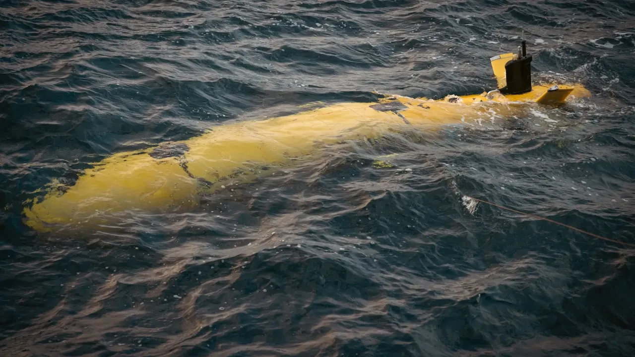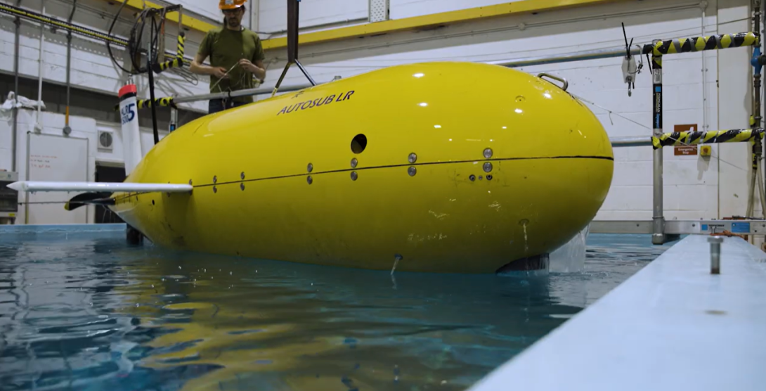
The UK National Oceanography Centre's Autosub Long Range vehicle (ALR1500), better known as Boaty McBoatface, has successfully tested a new suite of ocean monitoring technologies off the coast of Plymouth.
The trial demonstrated how marine autonomy, advanced sensors and satellite observations can work together to study dynamic marine environments that could be affected by floating offshore wind developments in the Celtic Sea.
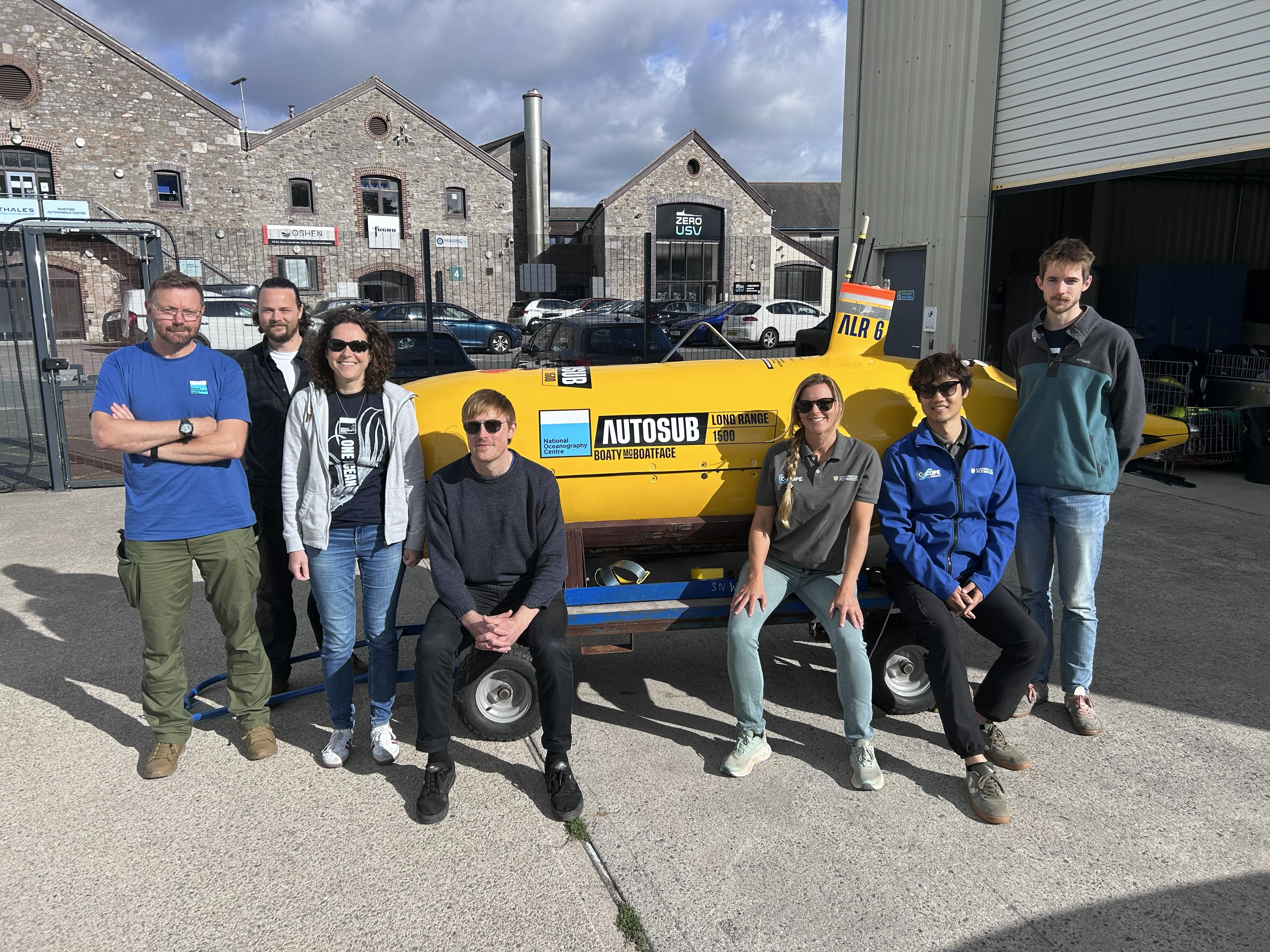
This work forms part of 'Frontline', a £3.5 million research project funded by the Natural Environment Research Council (NERC) and The Crown Estate. Frontline aims to improve understanding of how large-scale floating offshore wind developments interact with the marine environment - essential for supporting evidence-based planning and sustainable expansion of the sector.
Understanding the environmental impact of floating offshore wind
Floating offshore wind is set to play a major role in the UK's transition to net zero, with future developments expected to expand into deeper waters. These waters are home to dynamic ocean fronts, natural boundaries between different water masses that concentrate marine life, support productive fisheries, and provide important foraging habitats for predators such as seabirds and marine mammals.
As ocean currents interact with submerged infrastructure, they can generate wakes and enhanced mixing of waters that may influence the strength, location and persistence of ocean fronts, potentially affecting the ecosystems and fisheries they support. However, these processes remain poorly understood.
To investigate these interactions, the team deployed Autosub Long Range, one of the most high specification autonomous underwater vehicles available. For the trial, Boaty was equipped with a new suite of sensors designed to reveal how ocean fronts influence marine life and ecosystem processes. Alongside measurements of physical, biological and chemical ocean conditions, the upgraded payload enabled researchers to also map fish and zooplankton, record underwater sound and capture detailed images of plankton, providing new insights into the processes occurring around floating offshore wind infrastructure.
Tracking ocean fronts in near real time
During the trial, Boaty carried out a series of endurance missions. Using over-the-horizon piloting, the team remotely monitored the vehicle, reviewed incoming data and adapted missions while it remained at sea. Near real-time satellite observations identified the location of ocean fronts, enabling pilots to direct Boaty to areas of greatest scientific interest. This integration of satellite intelligence and autonomous underwater operations enabled responsive, data-driven mission planning and demonstrated a successful new approach to observing dynamic ocean environments.
It's exciting to see the ALR carrying this new combination of sensors and returning its first observations. Working with the University of Plymouth and Plymouth Marine Laboratory, NOC engineers have been testing and refining the system in real-world conditions. The trial is an important step towards the sustained surveys planned for the Celtic Sea and a better understanding of these dynamic marine environments.
James Burris, Head of Training and Trials, Marine Autonomous Systems (NOC)
Dr Lilian Lieber, Frontline Autonomy Work Package Lead (University of Plymouth), said: "Marine autonomy allows us to collect more ocean data than ever before, vastly extending the reach and persistence of ocean observation. However, it is not only about collecting more data but choosing the right combination of sensors, with near-real-time capabilities, that will help us make smart decisions when surveying complex and dynamic marine environments.
"Working closely with NOC's operational team and our science and industry partners, we have shown how marine autonomy and satellite remote sensing can deliver safe and scientifically valuable endurance missions, inform future surveys in the Celtic Sea, and help understand and safeguard our ocean and the life it supports."
Alex Phillips, Head of Marine Autonomous and Robotic Systems (NOC), added: "This project is a great example of NOC's ability to combine world-leading autonomous technology with the engineering, software and operational expertise needed to take projects from concept to deployment. It's a capability we've developed over many years and one that enables us to support cutting-edge ocean science in challenging environments around the world."
Developing the next generation of ocean monitoring
As floating offshore wind moves into deeper and more dynamic waters, new approaches to ocean observation are essential. By bringing together marine autonomy, advanced sensing and satellite observations, Frontline is demonstrating how scientists can build a more complete understanding of these environments. The knowledge gained will support evidence-based decision making, helping to ensure offshore wind energy can be developed alongside the protection of marine life and the sustainable use of our ocean.
About Frontline and next steps
The Frontline project aims to deliver an observational programme in the Celtic Sea to investigate how ocean fronts influence ecological processes, the distribution of marine predators and fishing activity, and how these interactions may change as large-scale floating offshore wind developments expand. The recent technology trials provided an early demonstration of the biological and environmental data that can be collected using the project's advanced sensor suite. Lessons from the trial are now being used to refine operational approaches for more extensive scientific surveys planned in the Celtic Sea in 2027.
Frontline is a consortium within the ECOFlow programme funded by the Natural Environment Research Council (NERC) and The Crown Estate and led by Professor Stephen Votier at Heriot-Watt University. The Frontline Autonomy Work Package is led by Dr Lilian Lieber at the University of Plymouth.
Partners
The trial brought together scientists and engineers from the National Oceanography Centre (NOC), Plymouth Marine Laboratory (PML), HiDef Aerial Surveying Ltd. and Kongsberg. Operational support was provided by Turnchapel Wharf, including Zero USV and Thales.
Be part of the community helping our ocean thrive.